Aletsch Glacier Hike
Panorama Trail, Valais
The Aletsch Glacier Hike, also known as Aletsch Panorama Trail, is without a doubt one of the best hikes in Switzerland.
In one day, you can see the largest and longest glacier of the Swiss Alps, which also happens to be the first Alpine World Heritage Site of UNESCO, the famous Jungfrau and Monch mountains, the Konkordiaplatz where four glaciers come together, and in the opposite direction, the magnificent Matterhorn.
If I had to choose a hike that made me love hiking in Switzerland, this is the one. It was absolutely surreal and inspiring.
Aletsch Glacier Hike: General Details
The Aletsch Glacier Hike can be done in multiple ways; the circuit I did was about 16 km, and I stayed overnight at the Gletscherstübe Mountain Hut.
- Hike Distance: 16 km.
- Hike Duration: Around 6 hours of walking time. Counting with a lunch break or time to take some photos, 7-8 hours.
- Hike Difficulty: Moderate-Hard. The hardest thing about this hike is its length and the terrain. The path is mostly a mountain hiking route with a lot of dirt and gravel, so shoes or boots with a good grip and hiking sticks are highly recommended.
- Hike Incline: 730m of ascent and 470m of descent.
- Hike Altitude: 1927m (lowest point) at Bettmeralp and 2480m (highest point) at the crossroads where you go either to Bettmerhorn or to Roti Chumme viewpoint.
If you‘re looking for an easier hike with a view of the Matterhorn, I recommend the Matterhorn Glacier Trail. It’s also a great option for friends & family.
Unlimited Swiss Travel & Museums - Adventure Tours
If there’s one way to experience Switzerland, this is it! The Swiss Travel Pass gives you unlimited train, bus, and boat travel across 90+ cities, plus free entry to 500+ museums, including the FIFA World Football Museum and the Olympic Museum. No stress, no ticket lines—just effortless adventure.
And if you’re craving a next-level thrill, Interlaken is where it’s at. Glide over stunning landscapes with tandem paragliding, or take the ultimate leap with a heart-pounding skydive.
How To Get to Aletsch Glacier?
Again, there are multiple ways to reach the Aletsch Glacier. The one I did is taking a train to Betten Tallstation, where the light blue line starts, and then taking the cable car up to the Bettmeralp village. On the way back, I ended up in Fiescheralp and took the cable car down to Fiesch, where I got my train home and where the yellow line ends.
The cable car from Betten Tallstation to Bettermalp costs CHF 9.80 (CHF 4.90 with Half-Fare Travel Card) and from Fiescheralp to Fiesch costs CHF 20.00 (CHF 10.00 with a Half-Fare card). If you buy a return ticket instead, the prices are cheaper than buying one-way tickets from different stations.
Please take into account the closing times of the cable car stations, or you might get stuck up and have to hike down. You can check the prices on their page here and the schedules of the cable cars here.
What to Bring on the Aletsch Glacier Hike?
To ensure a safer and more comfortable journey in this mid-altitude mountain hike with some gravel sections, certain specific equipment is indispensable, especially if you’re staying overnight or doing it on a cold day:
Essentials:
- Breathable T-shirt (Tech or Merino)
- Waterproof Jacket (Gore-Tex or H2O Technology)
- Puffer Jacket
- Shorts or Pants
- Hiking Shoes or Trekking Boots
- Backpack: 25-35 liters
- Gloves: One Layer (preferably merino wool for breathability and comfort)
- Sunglasses: Category 4 UV protection.
- Cap: Or a beanie and buff if it’s cold.
- Hiking Merino Socks: One Layer (preferably merino wool for breathability and comfort)
- Sunscreen: Ensure you have a minimum of SPF 50.
- Trekking Poles: For the entire hike.
- Low Gaiters: For peace of mind if there’s gravel.
- Swimming Clothes: (if you’re staying overnight or going for a swim)
- Dry-fast Towel: (if you’re staying overnight or going for a swim)
Camping and Extras:
- Headlamp
- Cooking, Camping Tent, Sleeping Mat, Sleeping Bag
- Victorinox Swiss Multi-Tool or Victorinox Hiker Knife
- Change of Clothes
Other Things:
- First-Aid Kit
- Drinks and Snacks: Bring enough of them, especially if you’re doing it in two days.
- Thermos
My Experience on the Aletsch Glacier Hike
Since my objective on this hike was to catch the sunset on the glacier, and the last cable car was at the time of sunset, my only option was to sleep there. Luckily, there is a great mountain hut in the near called Gletscherstube Berghütte Märjelen, which is only open from the beginning of July until the middle of October.
Since this hut is not part of the Swiss Alpine Club (SAC), you have to fill out a reservation form on their website, and unfortunately, you can’t get a discount if you’re a member of the SAC.
As in many other alpine huts, you don’t get a shower, but you have the option to book a half pension overnight, which I did, and oh boy, if it was worth it after such a long hike.
I advise you, however, to pay attention to the dinner time (around 18:30) if you plan to watch the sunset at the glacier. Especially on the longer Summer days, it’s way past that hour, and you may end up without dinner. I would, at least as a precaution, give them a call if you plan to arrive later.
From Bettmeralp to the Moosfluh Cable Car Station
Upon arriving at Bettmeralp, you have to follow the yellow hiking signs to the Bettmersee lake and then go left around the lake and start hiking up to the small Blausee lake, where you get a nice view of the Matterhorn.
After that, you hike 300m more and you reach the Härdernagrat ridge, where you get the first glimpse of the Aletsch Glacier.
In total, from Bettmeralp to the ridge, you have to hike around 2.60 km and climb 300m.
It’s not so hard to do it, it’s just a bit tiring and without shade all the way up. I would advise you to do it early in the morning to avoid the blazing sun.
Once you reach the ridge, you’ve to walk 600m to the right and you will reach the Moosfluh cable car station (you can get here from Riederalp).
From the Moosfluh Cable Car Station to Roti Chumme
Once you leave Moosfluh, you’ve to hike around 1km and go left on a bifurcation.
It’s easy to miss the path, as I did, and go right.
The problem with the right path is that it will make you climb unnecessarily 180m; however, if you want to see the views from the Bettmerhorn summit, this is the way.
You can also reach it by cable car, which consequently makes it a lot more accessible and packed with tourists.
If you go left, you have to hike around 4 km on a mostly flat path to reach Roti Chumme viewpoint.
From Roti Chumme to the Aletsch Glacier
Once at Roti Chumme, you just have to walk one more kilometer and you’ll reach the turning point to go either to the Märjelensee lake and the Gletscherstübe mountain hut or to the entrance of the glacier.
In my case, this was the spot where I watched the sunset go off, and I launched my drone up in the air. This was, without a doubt, one of the most epic sunsets of my life.
If you arrive here early in the afternoon, you can still go down to the entrance of the glacier and make your way to the Märjelensee and Vordersee lakes.
In this case, you want to make it to the entrance of the glacier, from the turning point where I launched the drone up you’ve to go down an inclination of around 80m.
From my sunset spot to the Gletscherstübe mountain hut, you still have to walk around 2 km, and if you go in October as I did, you will already find some ice on the floor, and without light, it might be a bit dangerous to walk, so be careful.
Sunrise at Vordersee and Hike to the Entrance of the Aletsch Glacier
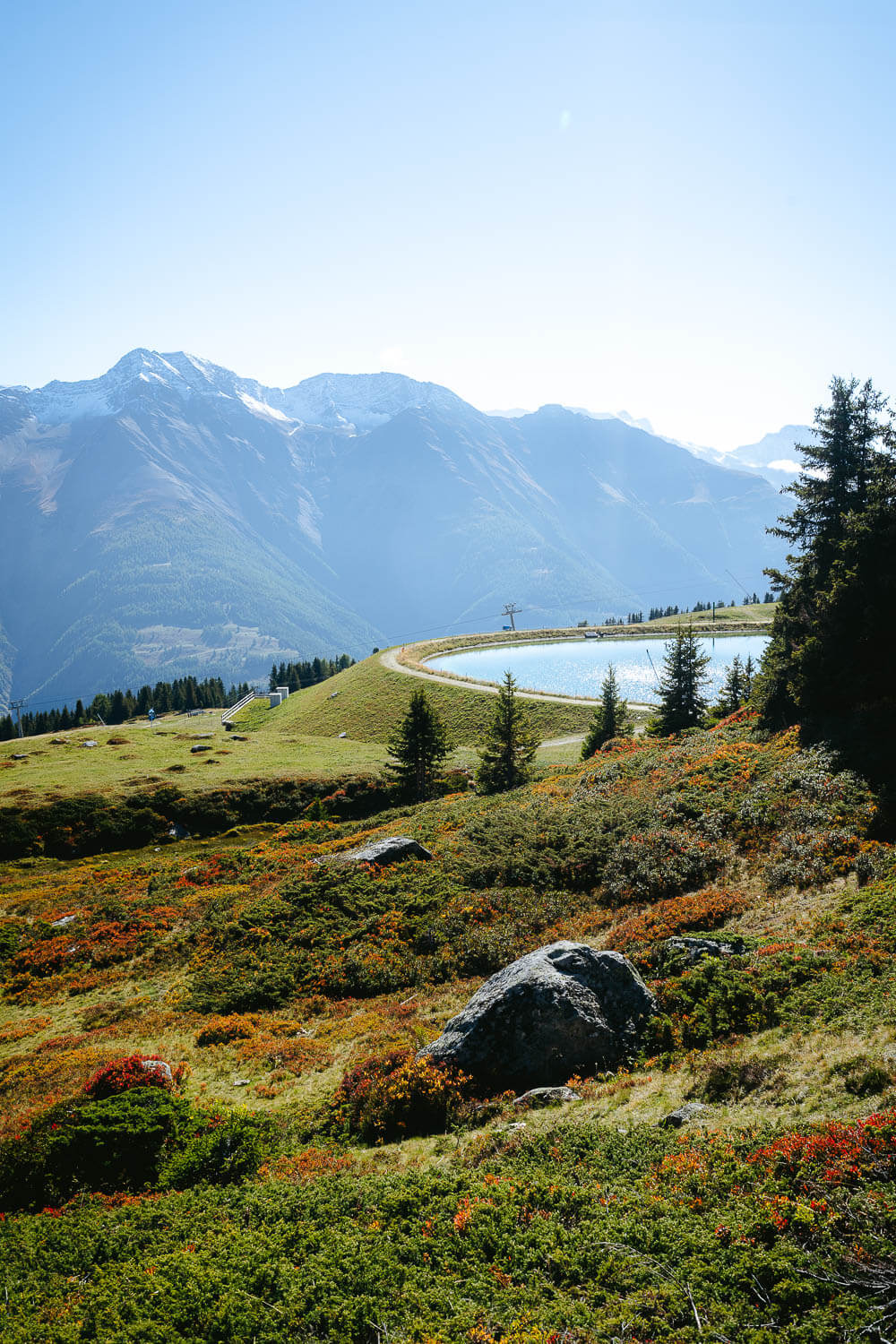
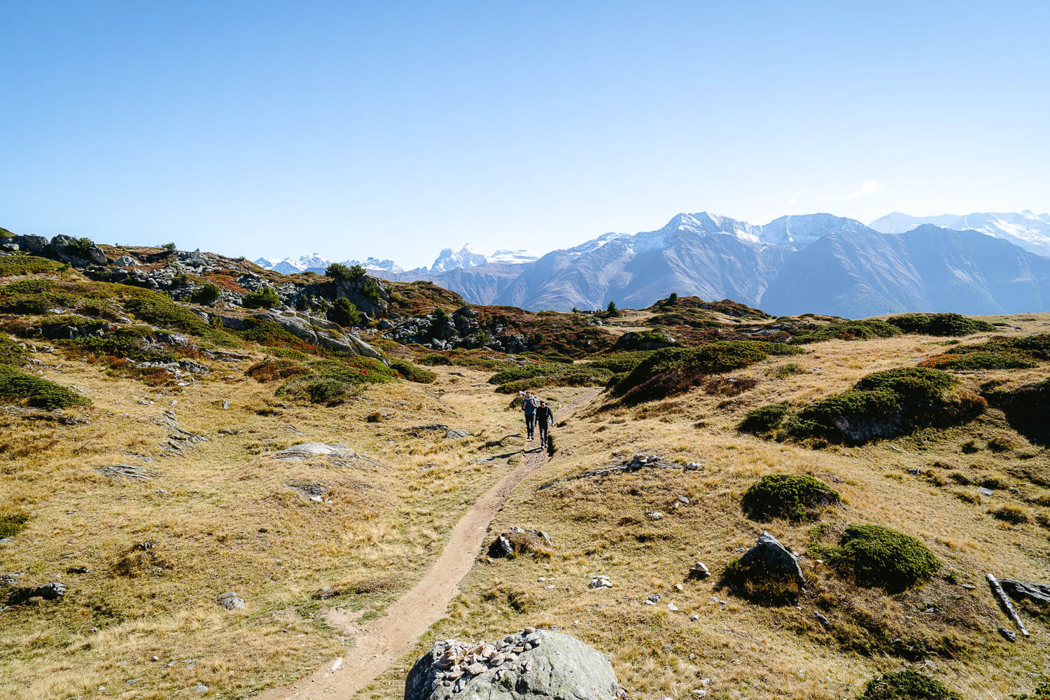
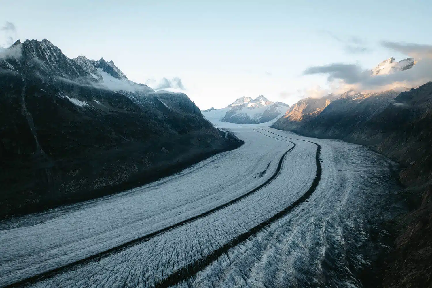
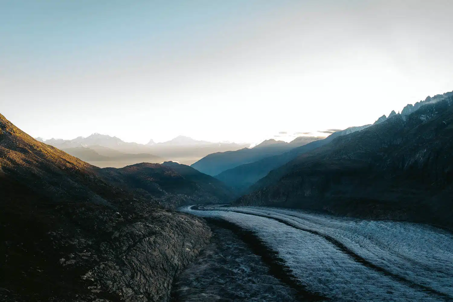
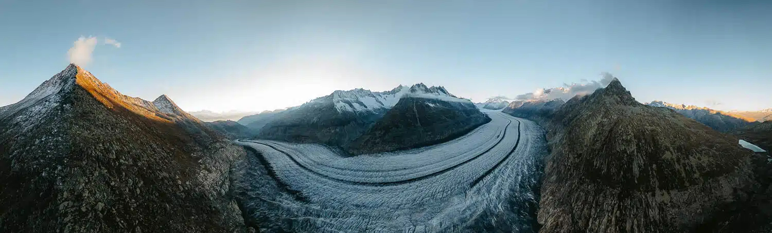
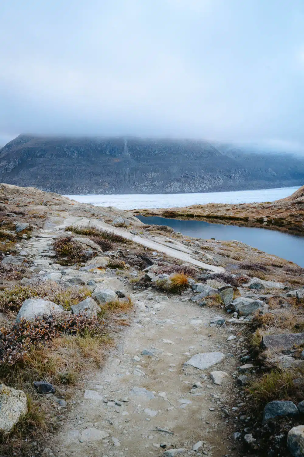
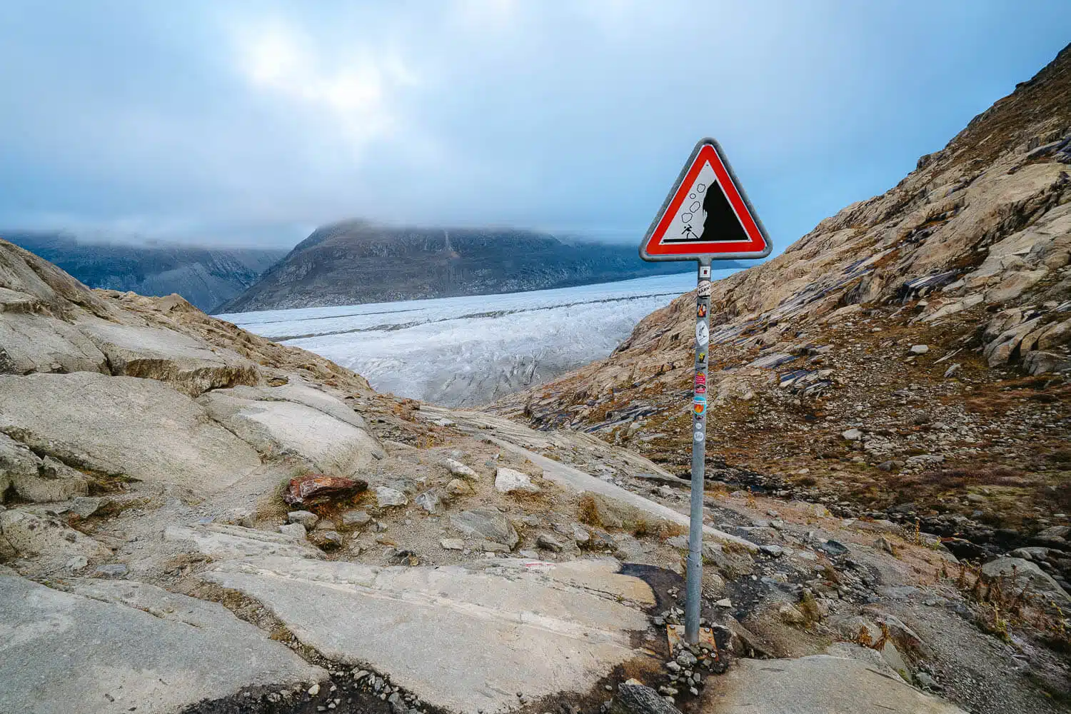
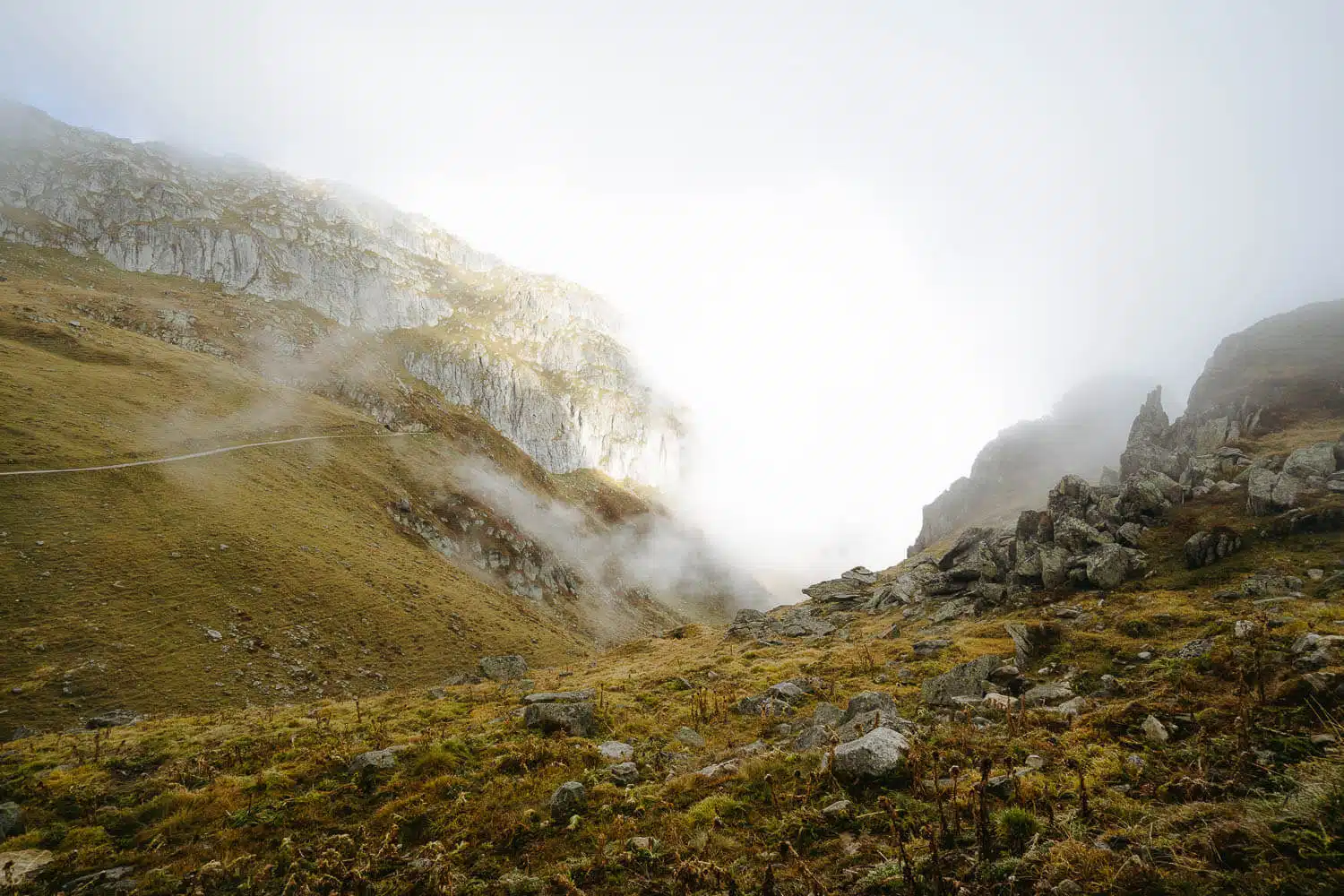
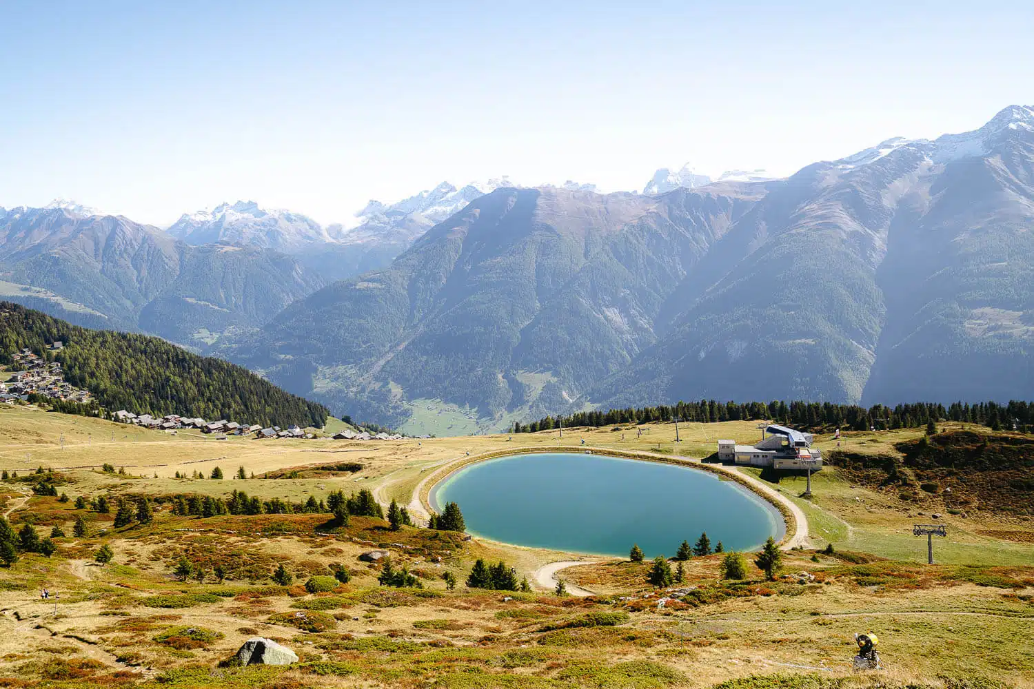
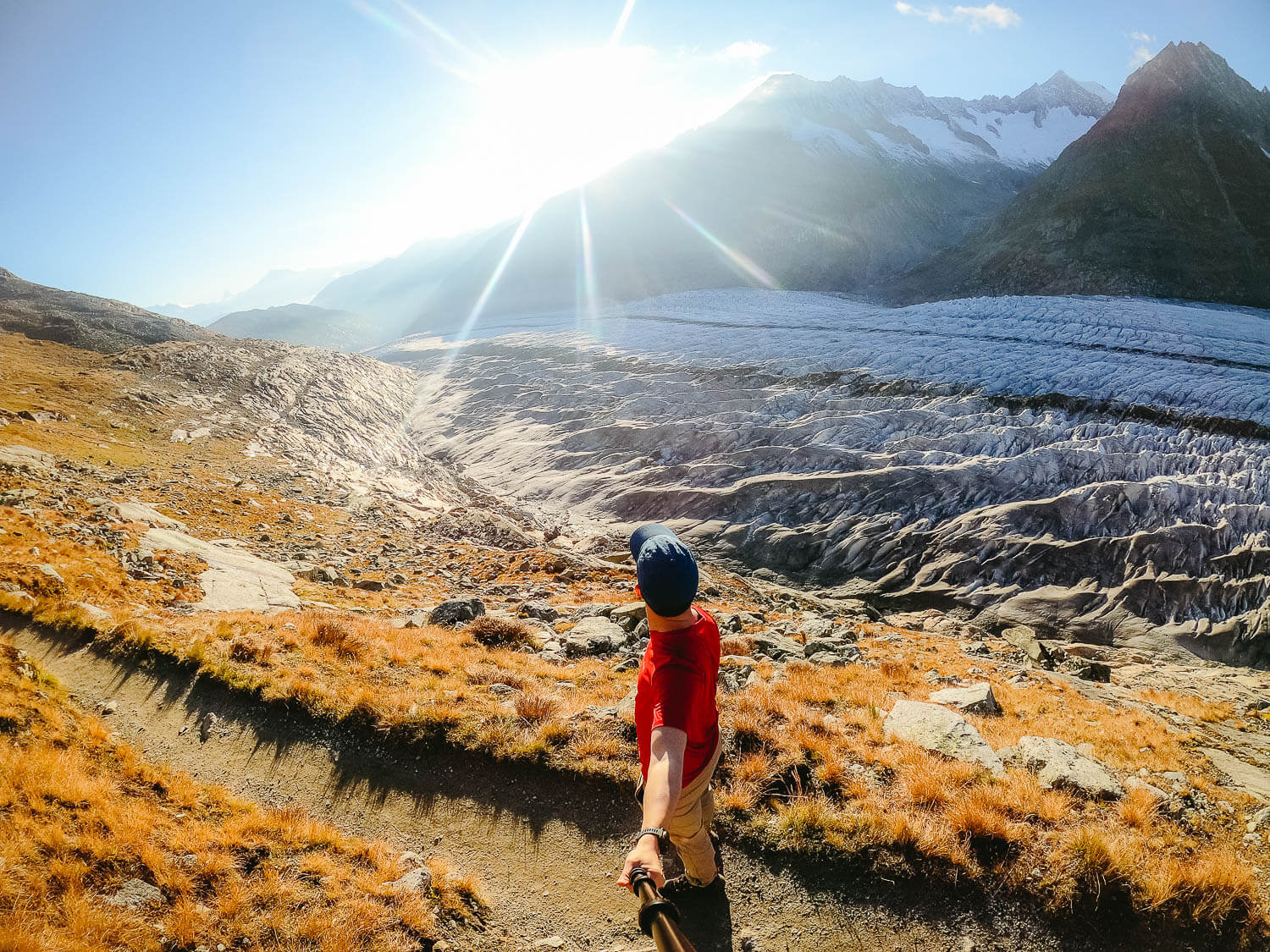
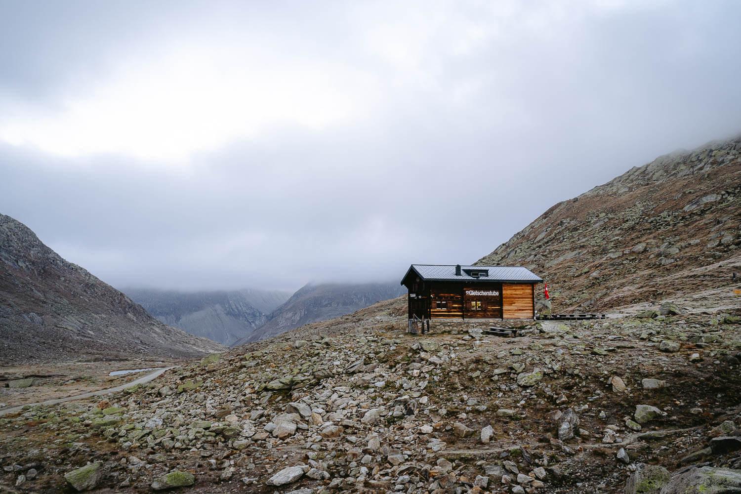
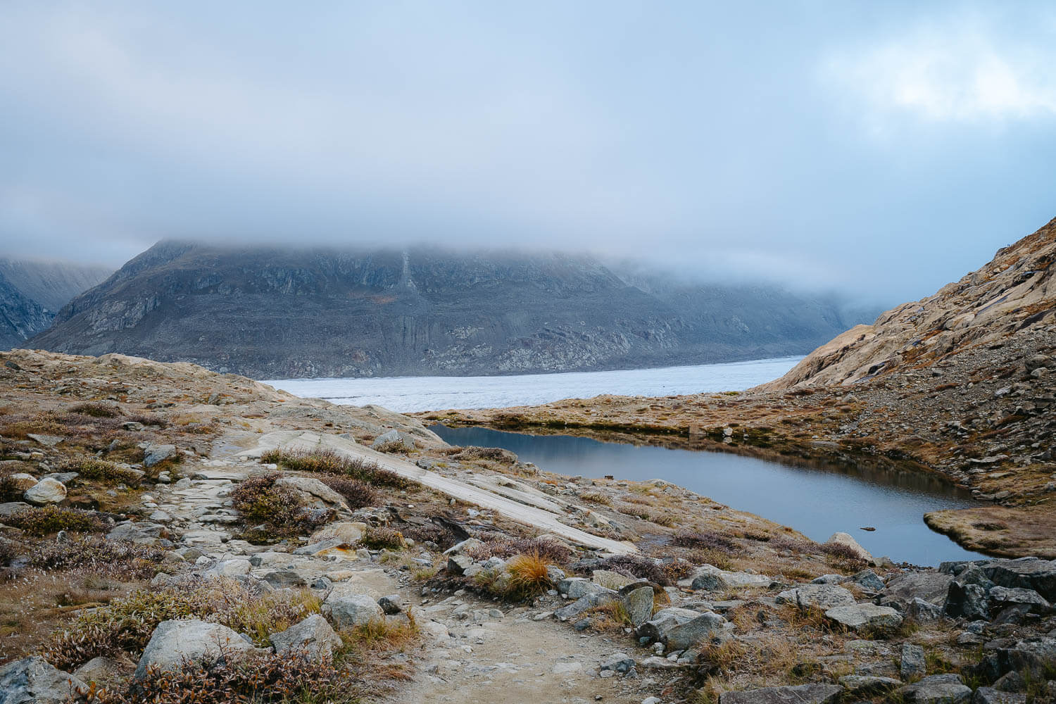
If you plan to do the hike as I did, then I would advise you to wake up early in the morning before sunrise and hike your way down to the entrance of the Aletsch Glacier.
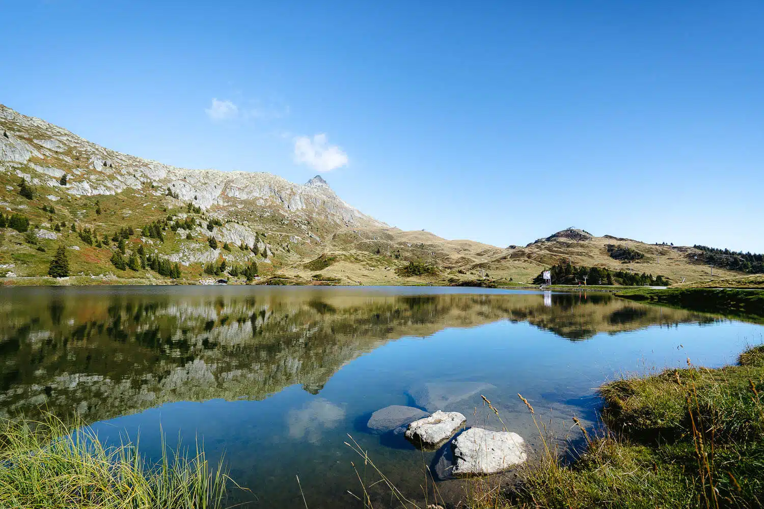
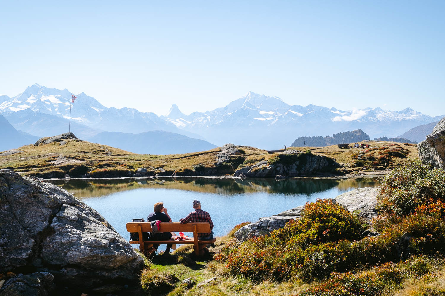
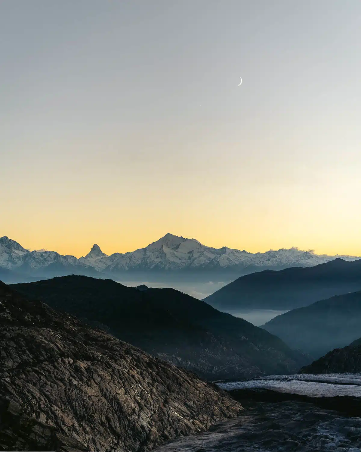
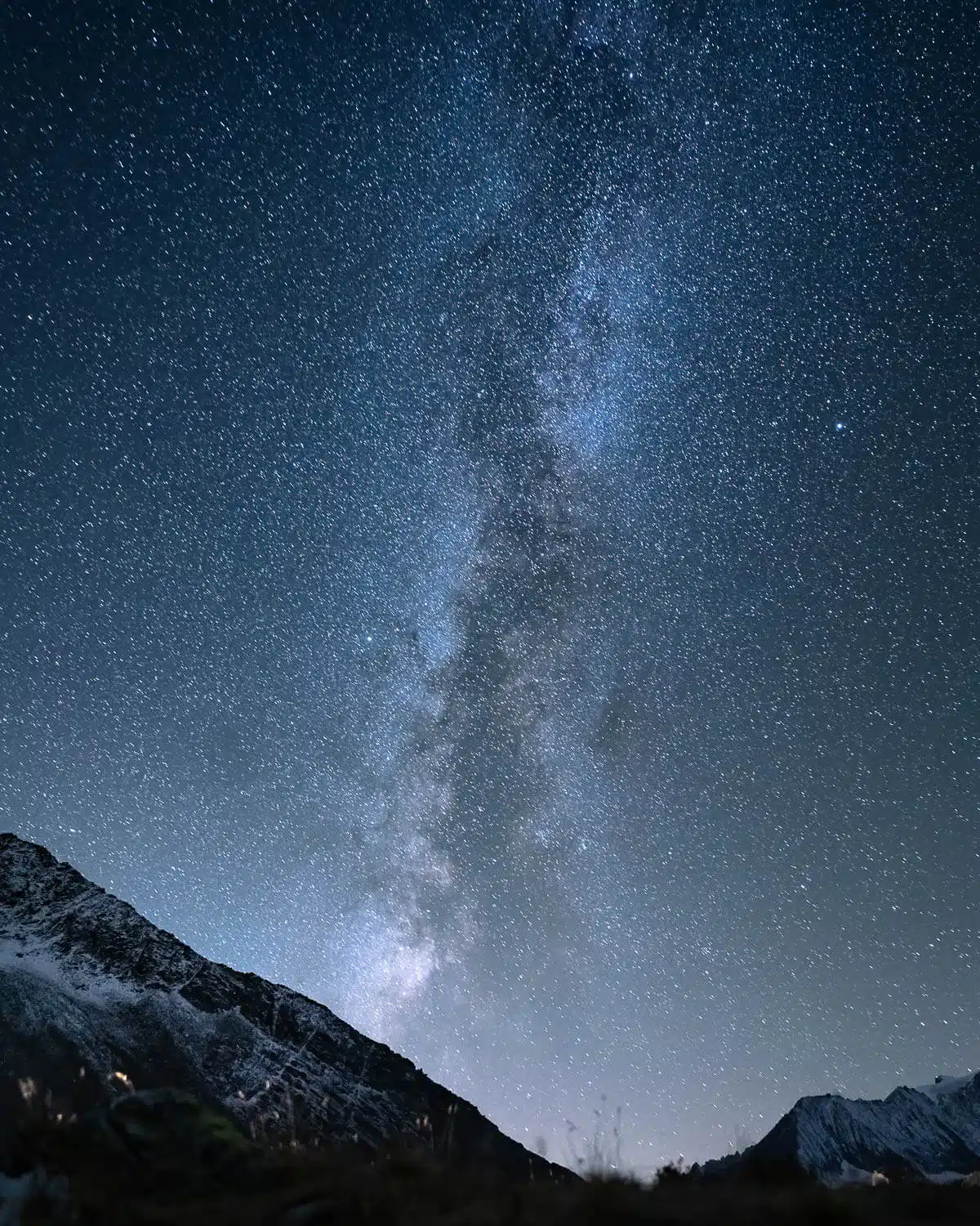
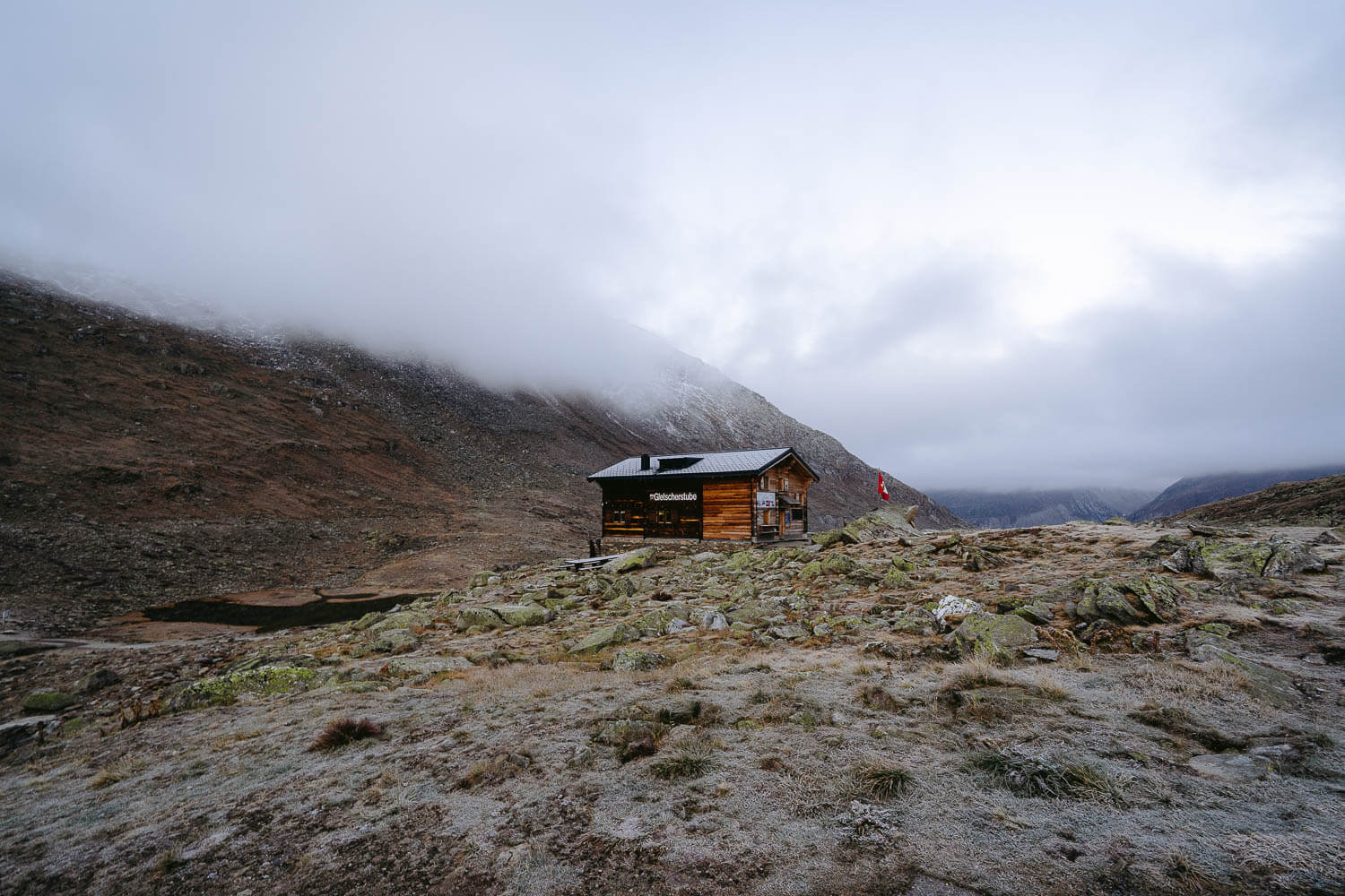
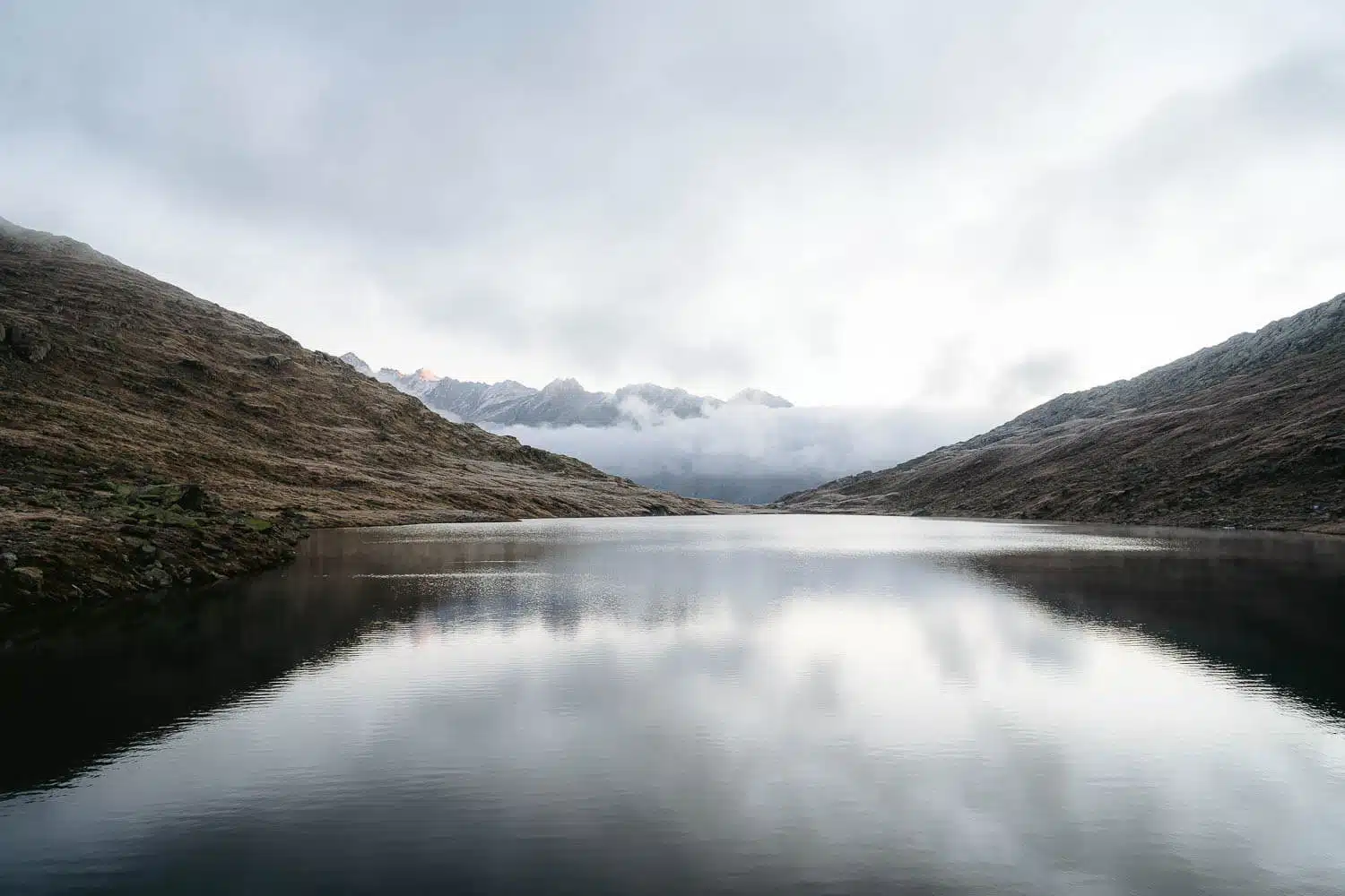
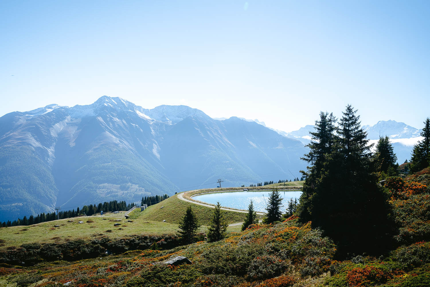
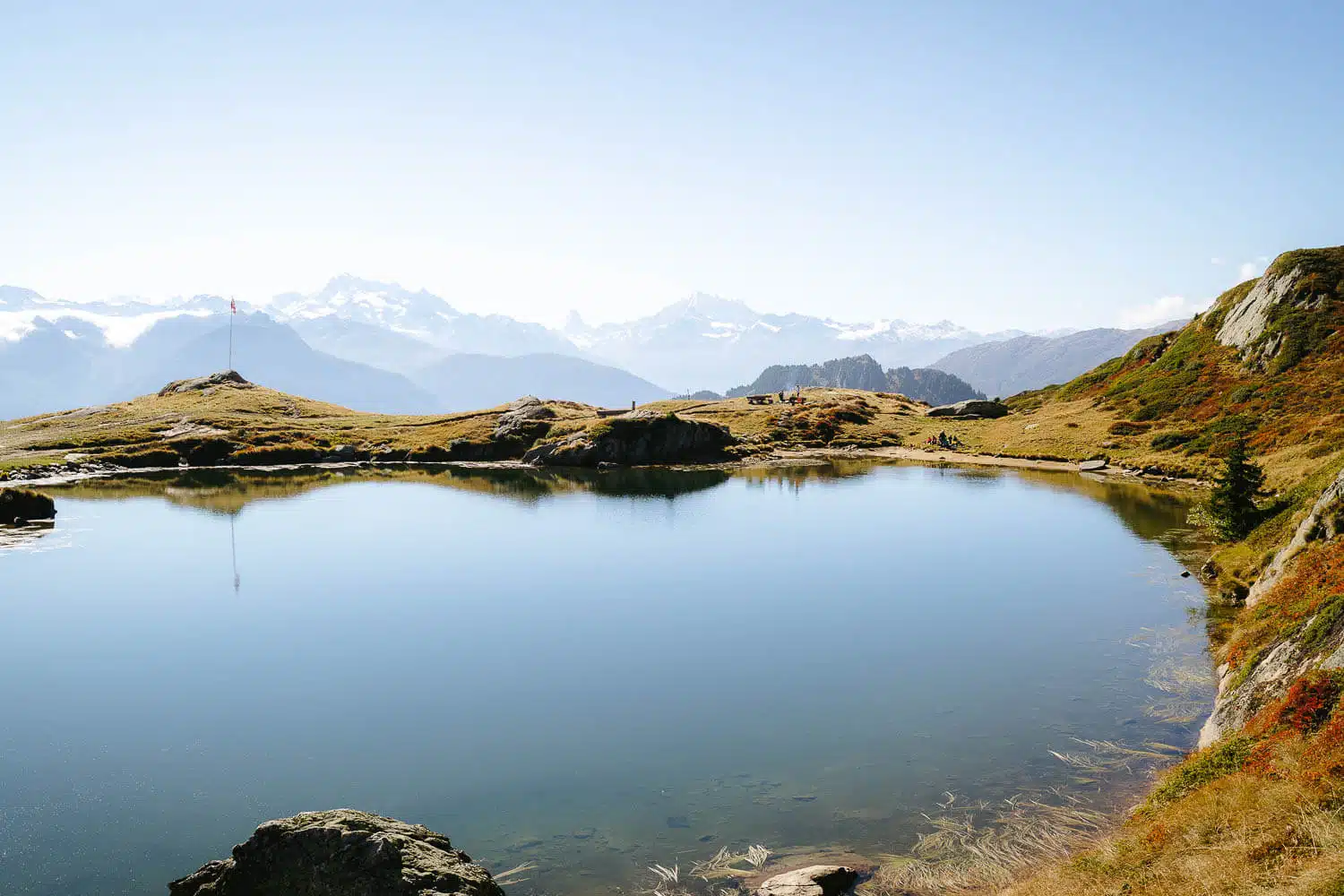
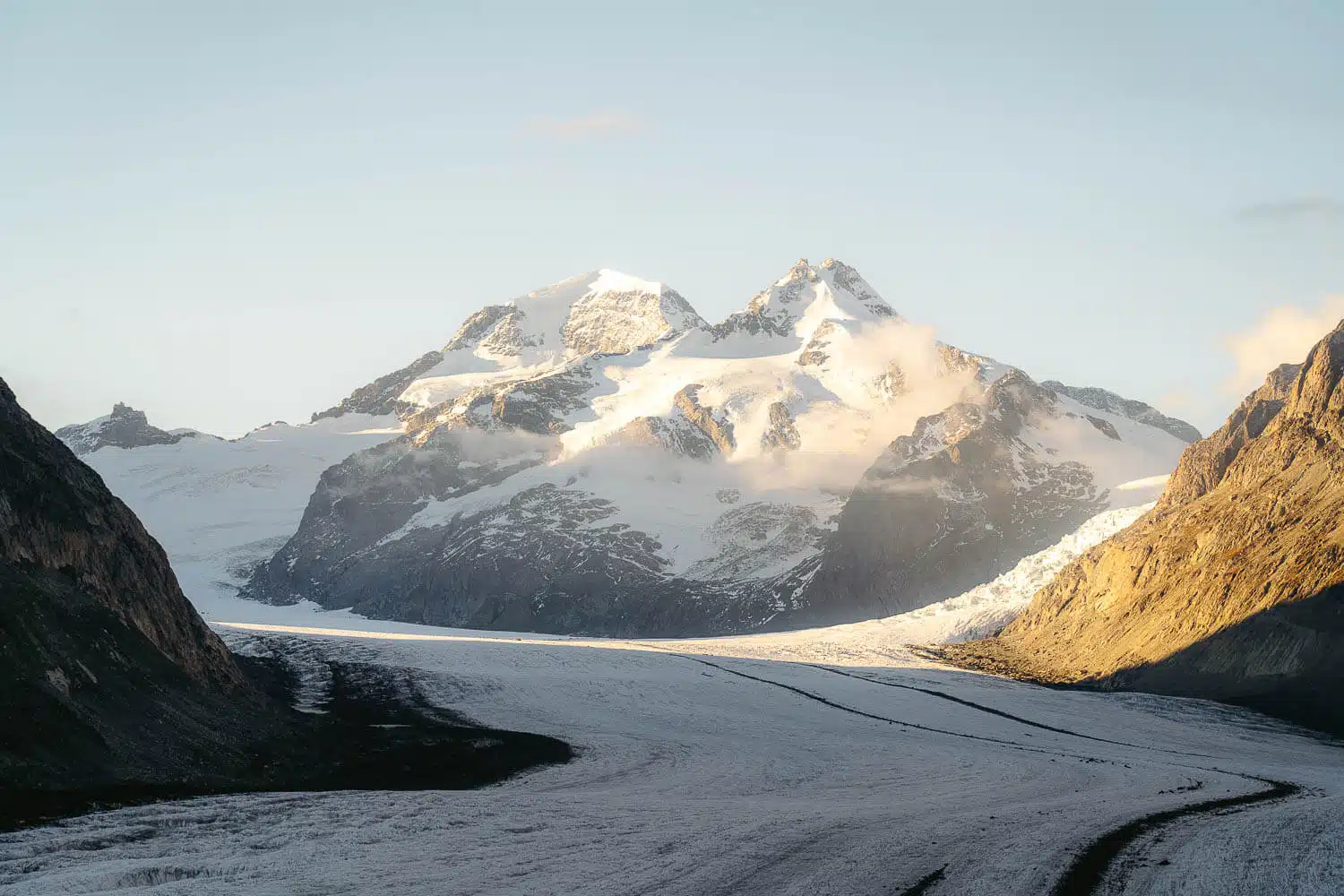
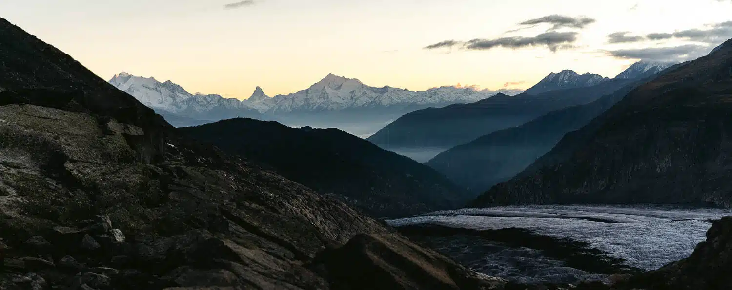
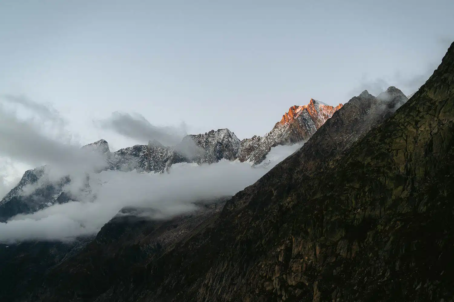
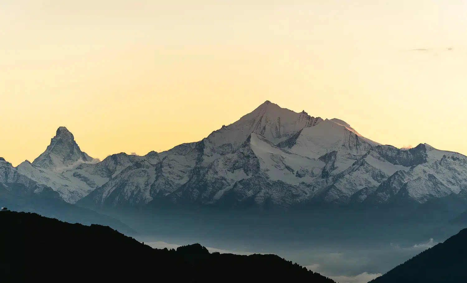
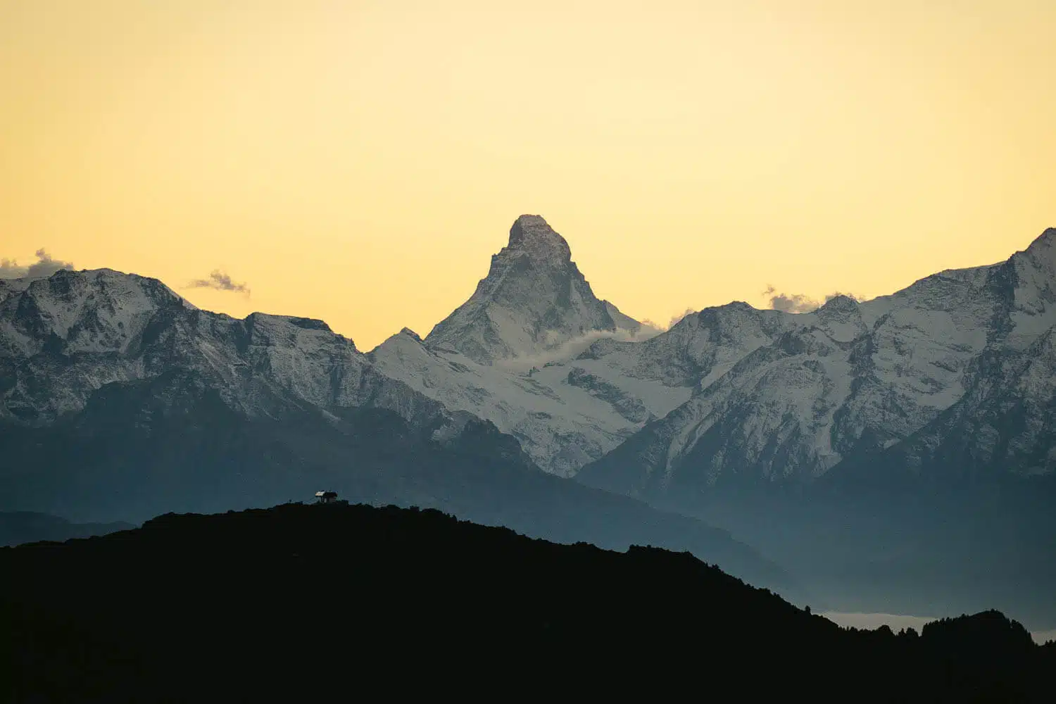
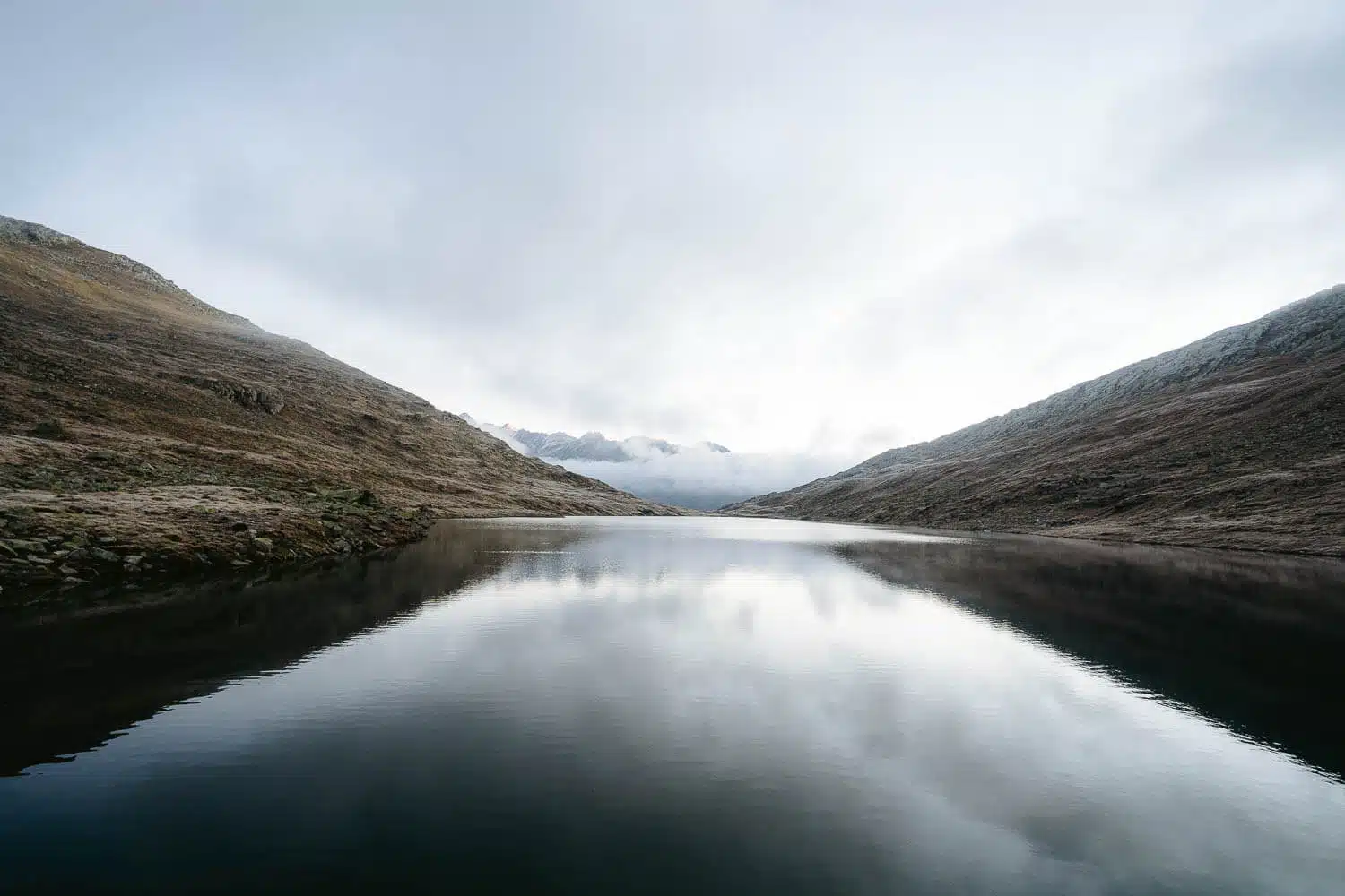
Before that, I would tell you to go take a look at the mirrored Vordersee lake, right in front of the hut, and watch the mountains in the distance start getting red from the sunrise, what a peaceful moment.
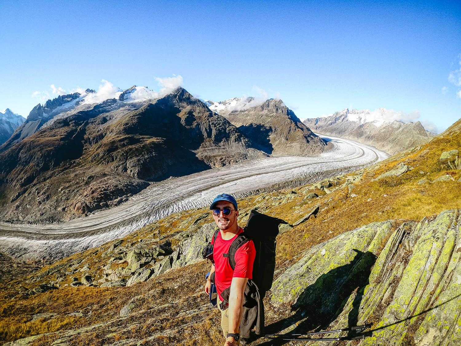
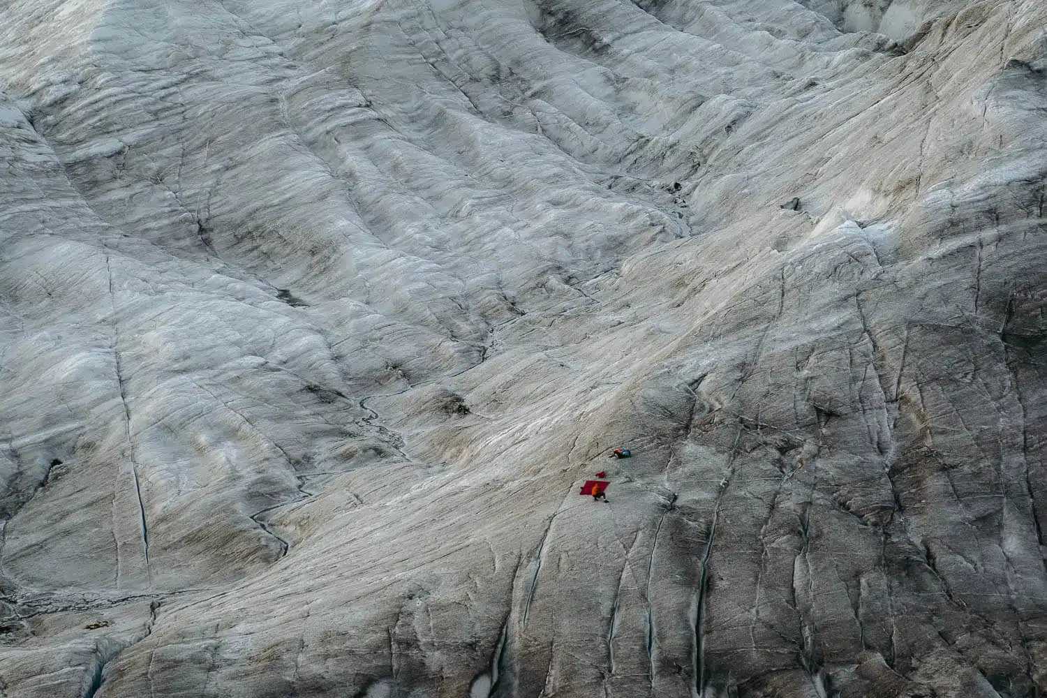
After that, I went to the glacier and saw a crazy guy coming out of it, and he told me he had camped overnight on top of the glacier, and he could hear the glacier cracking and breaking in the distance. Wow.
He was the person who advised me exactly where I should walk, and not once I’d reach it.
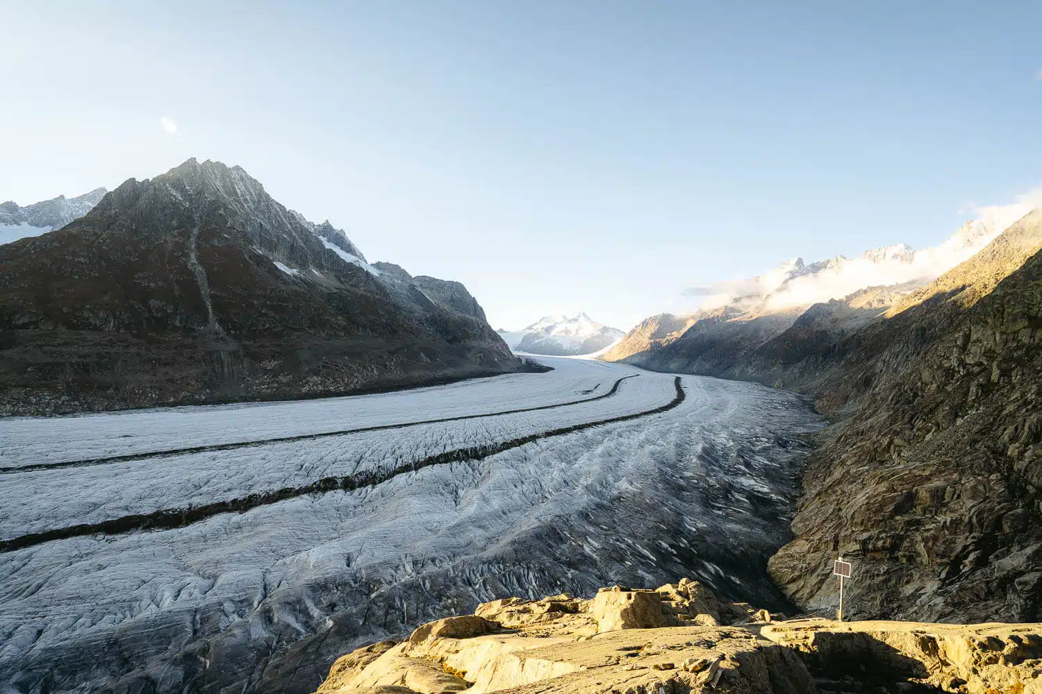
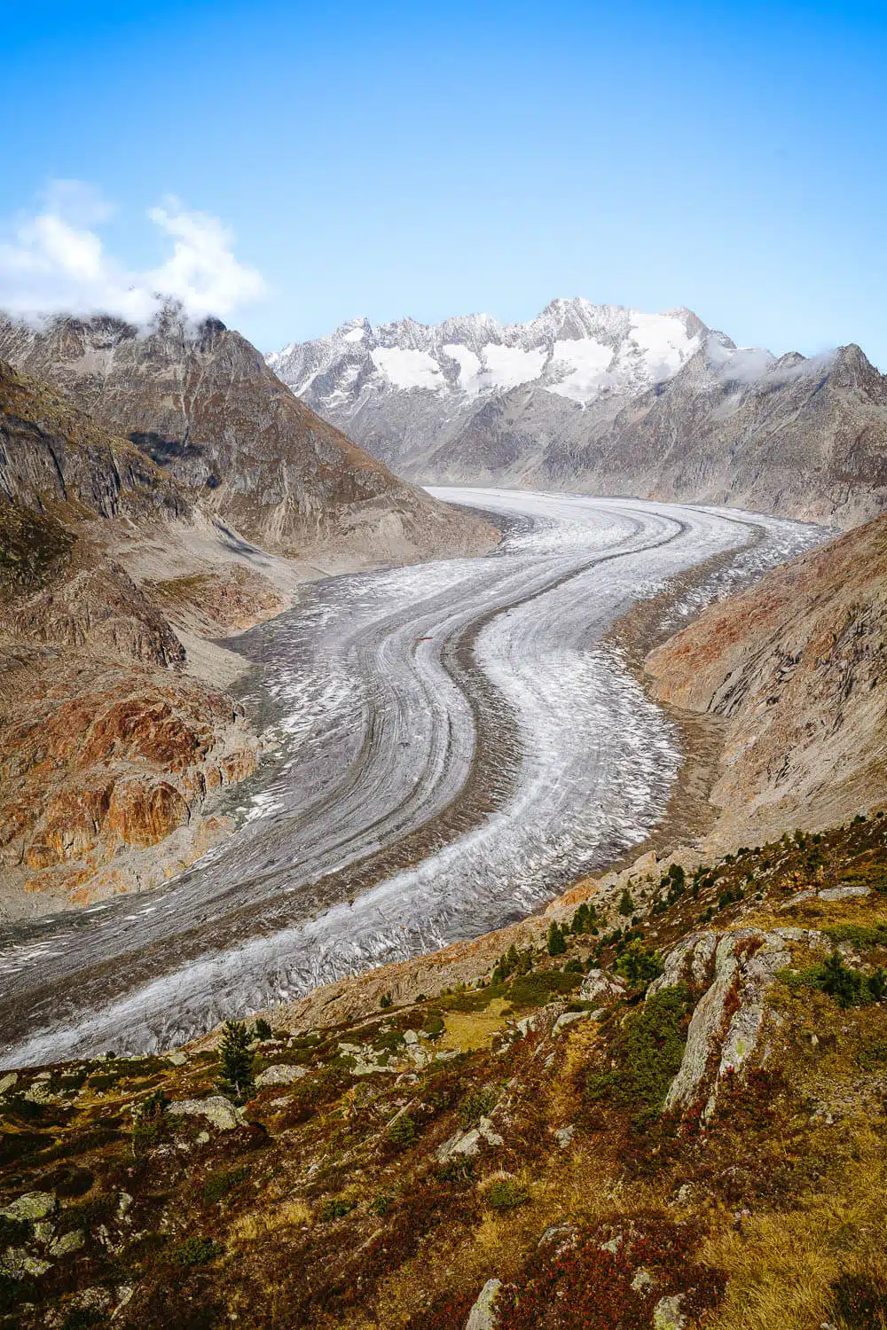
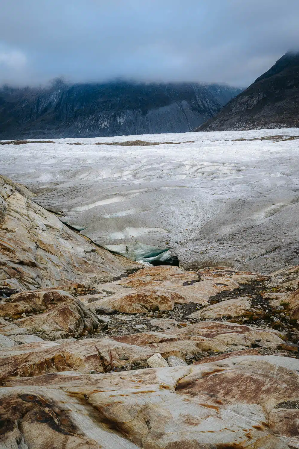
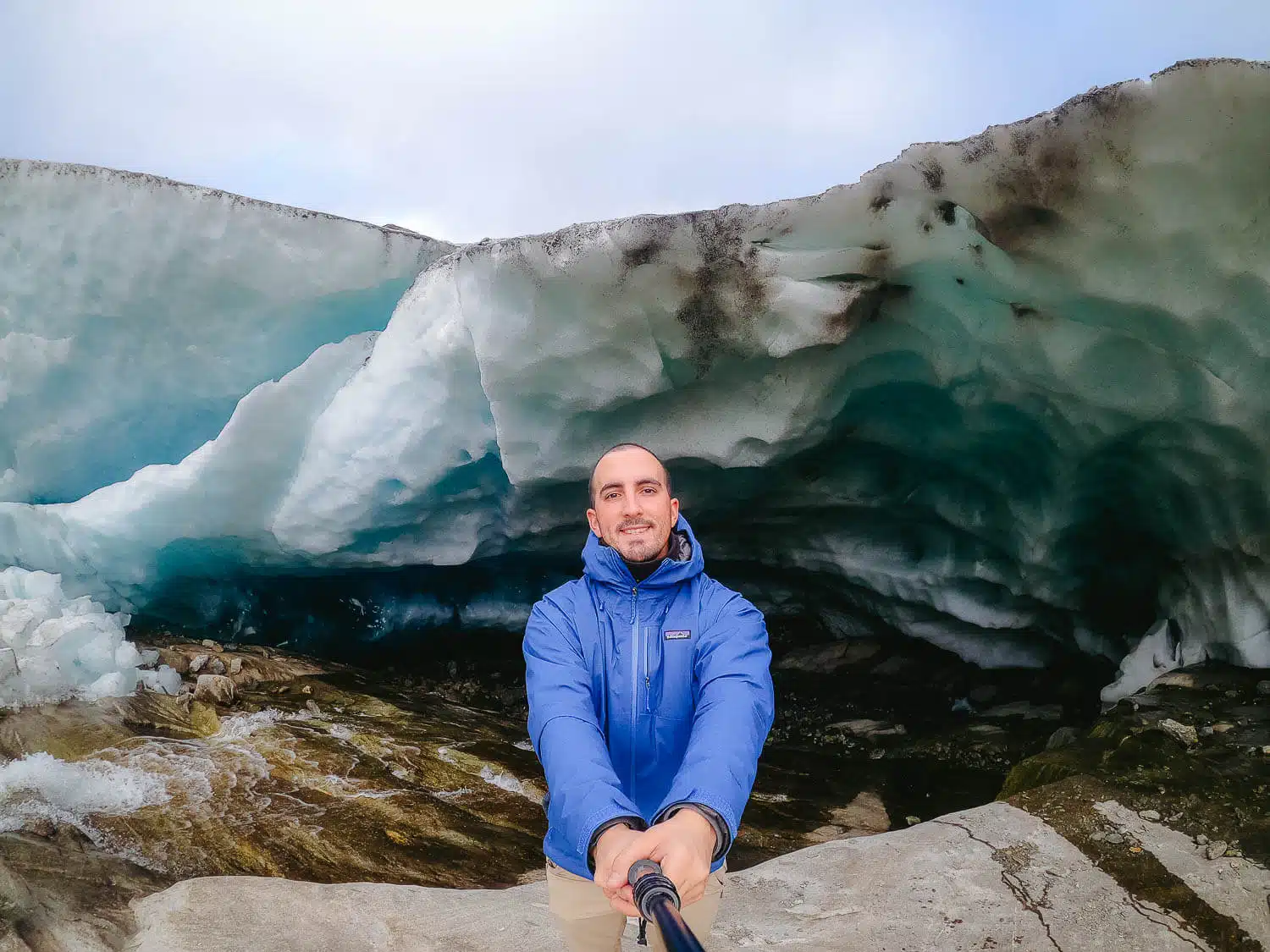
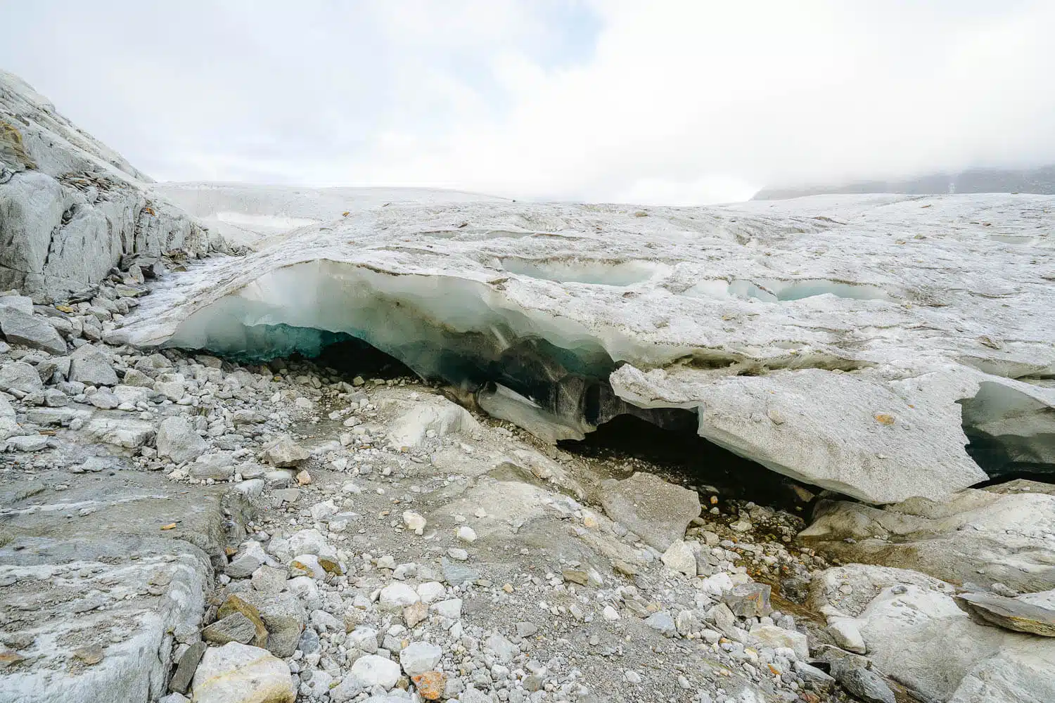
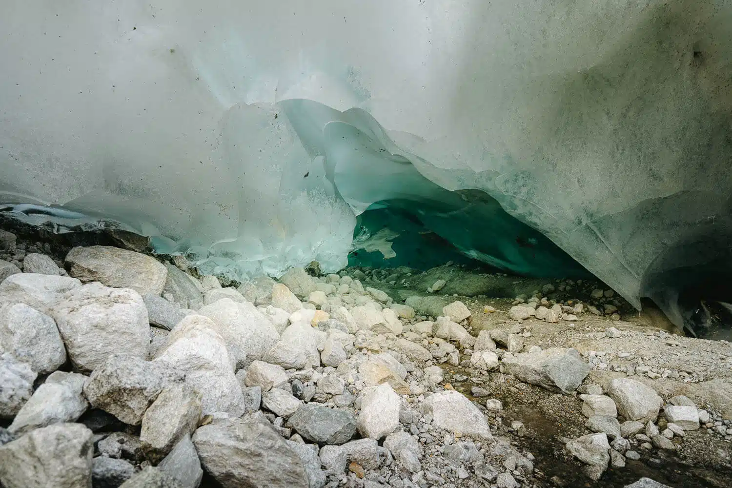
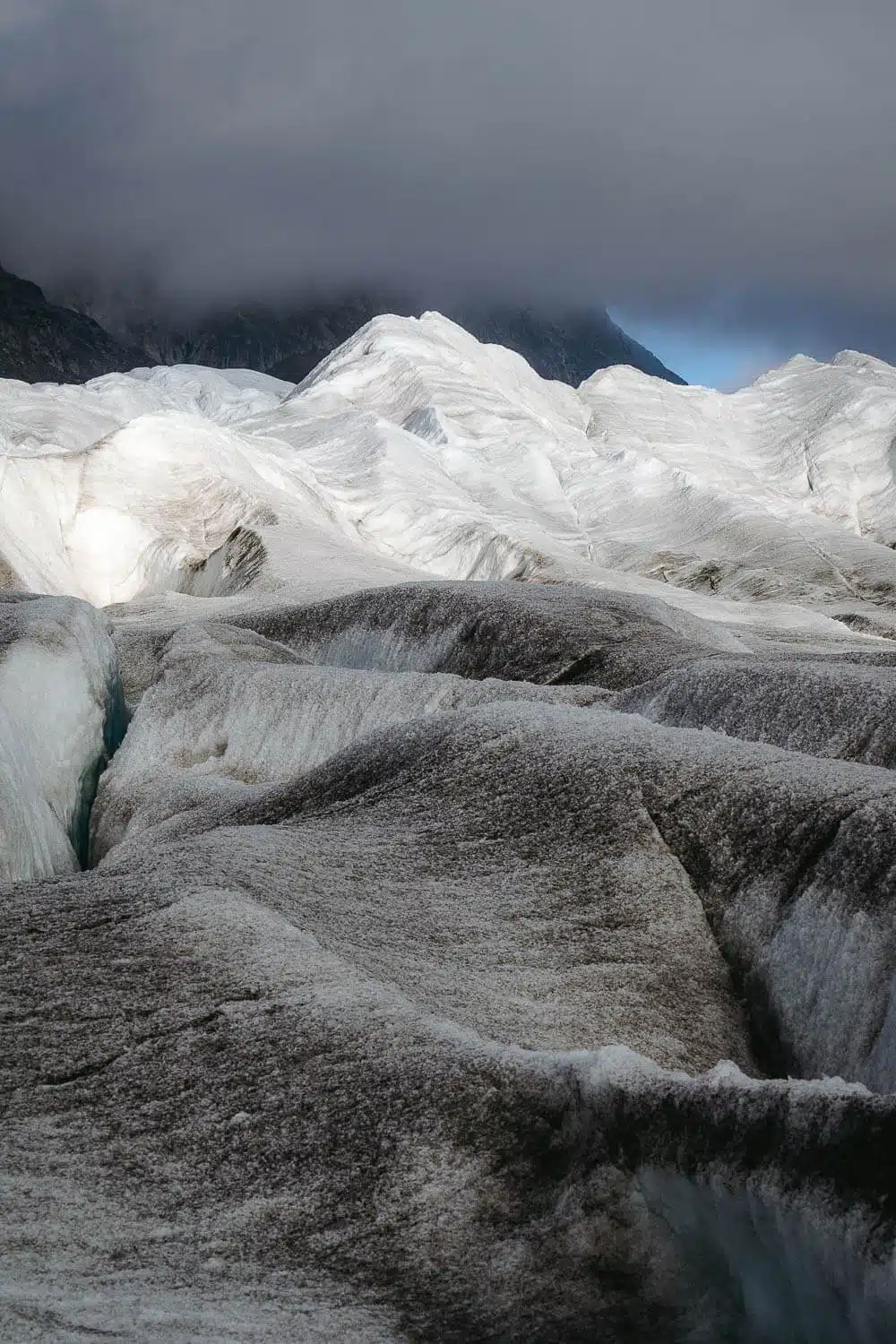
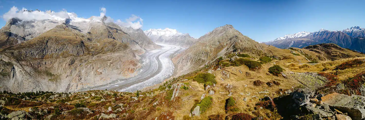
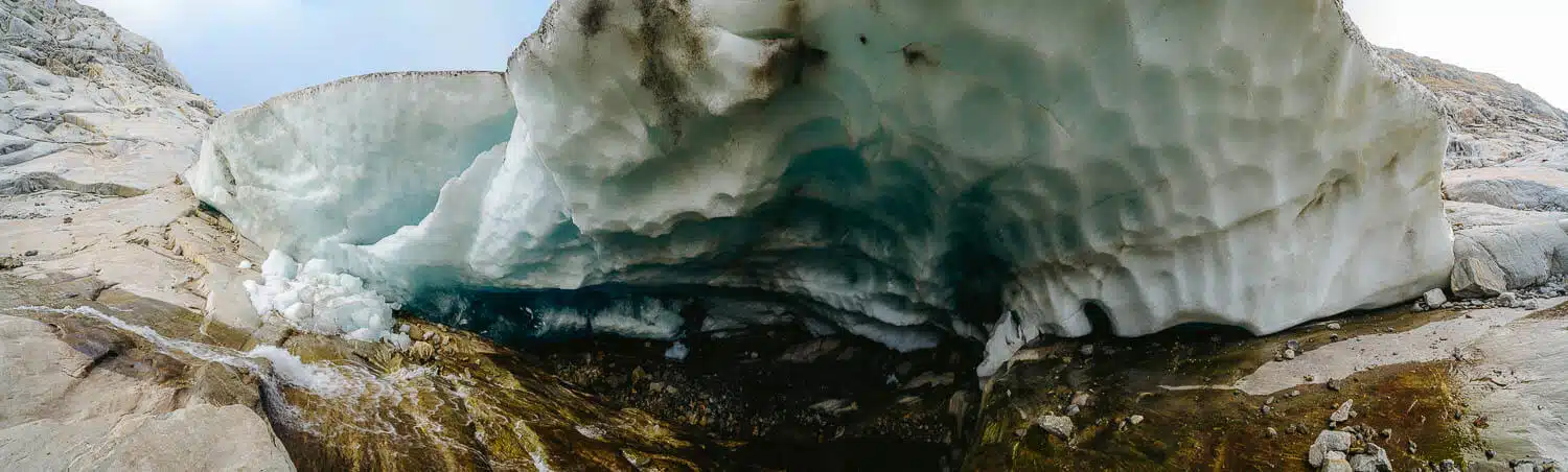
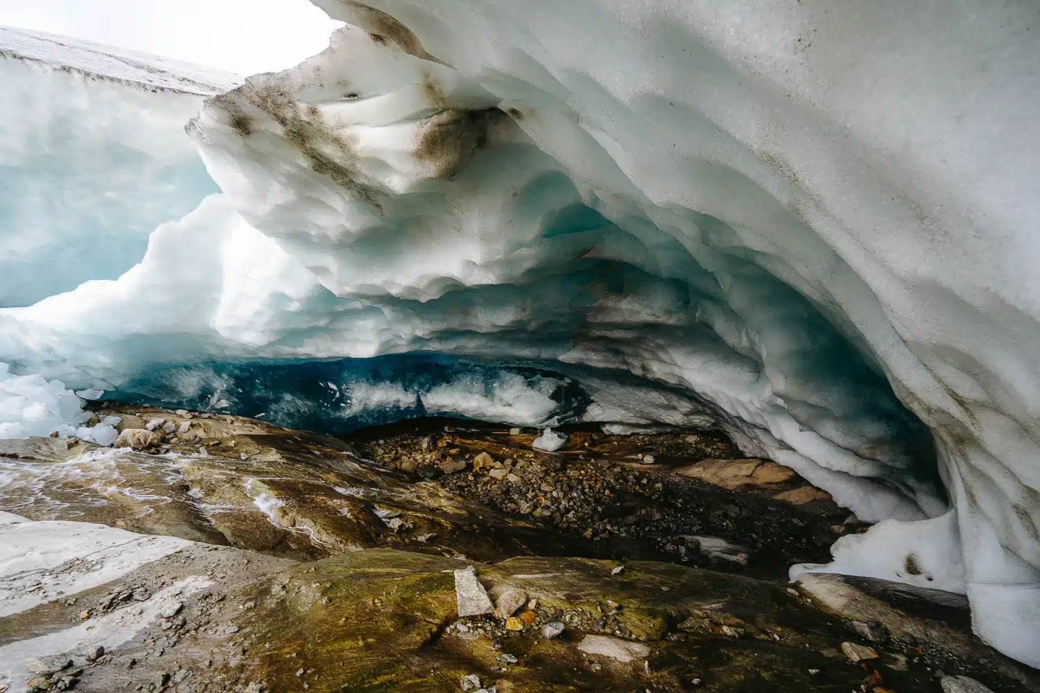
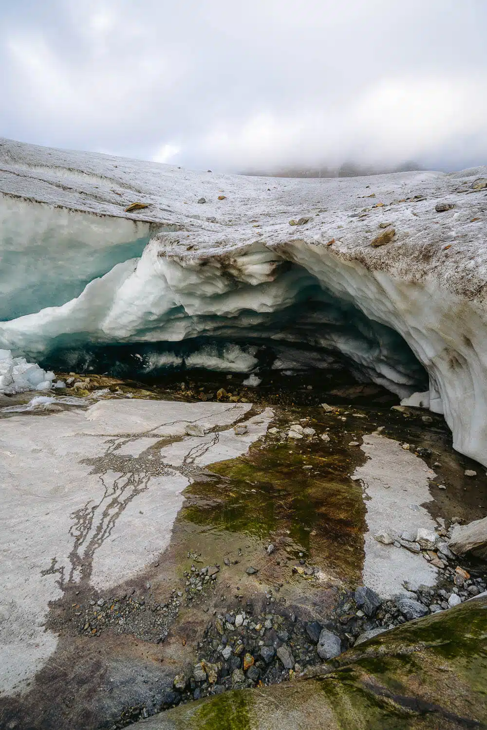
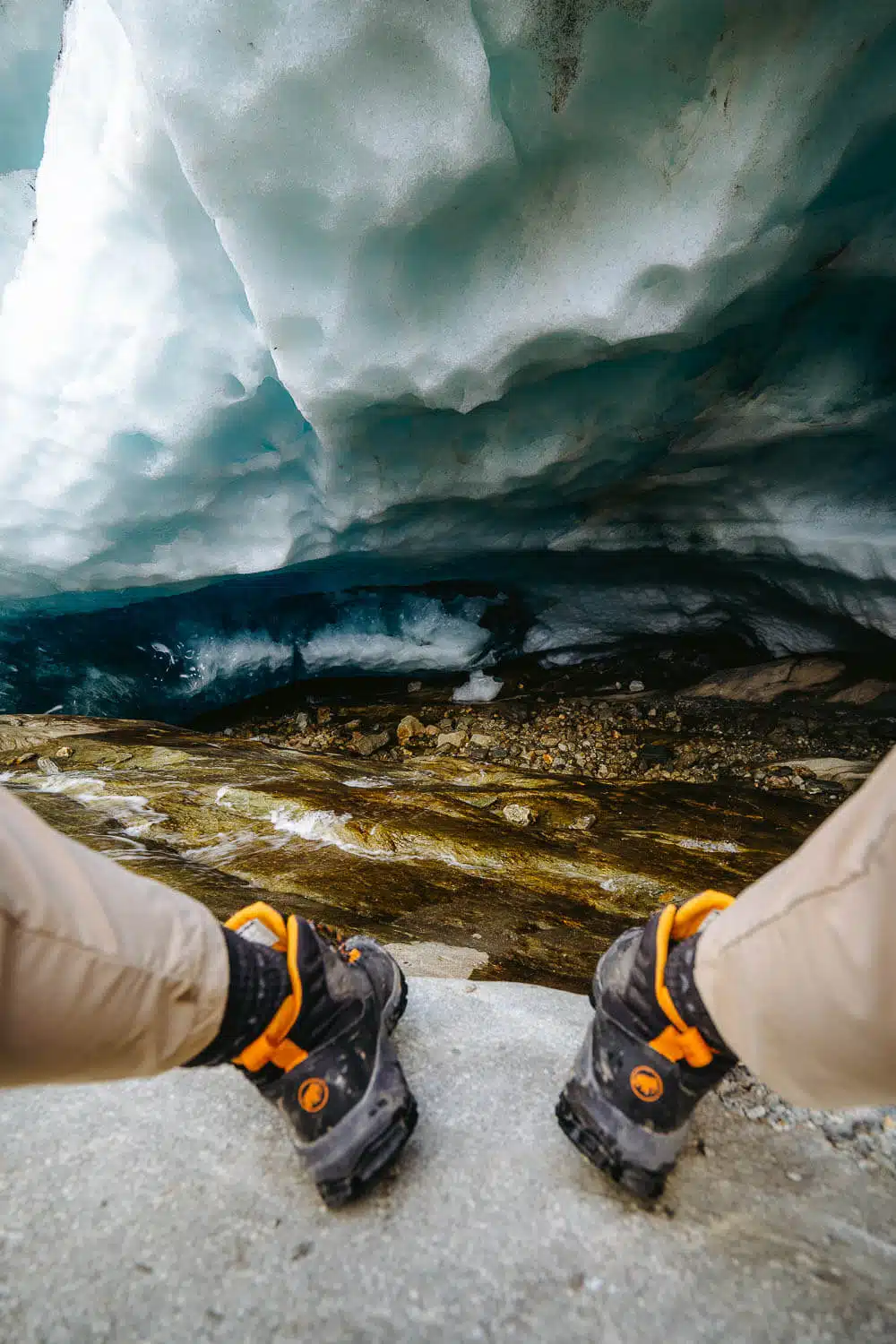
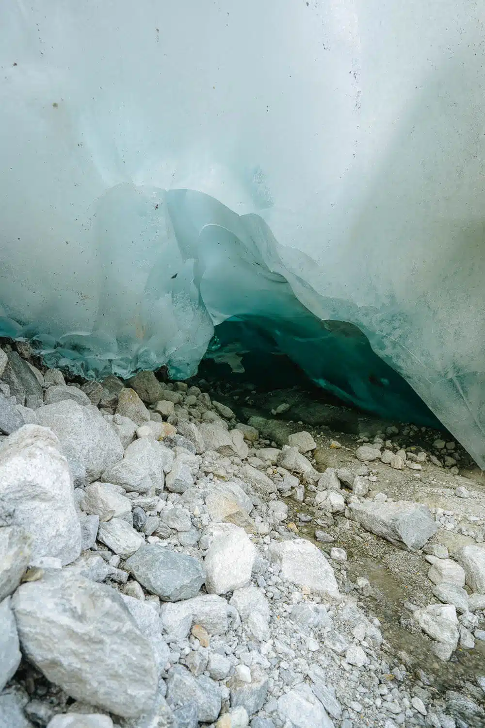
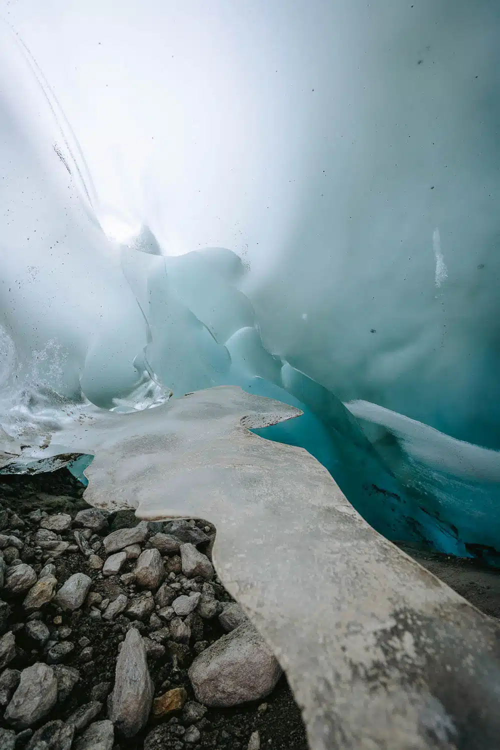
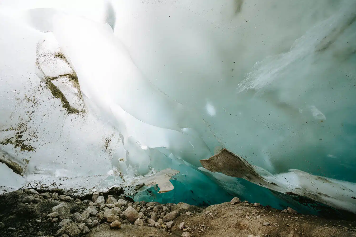
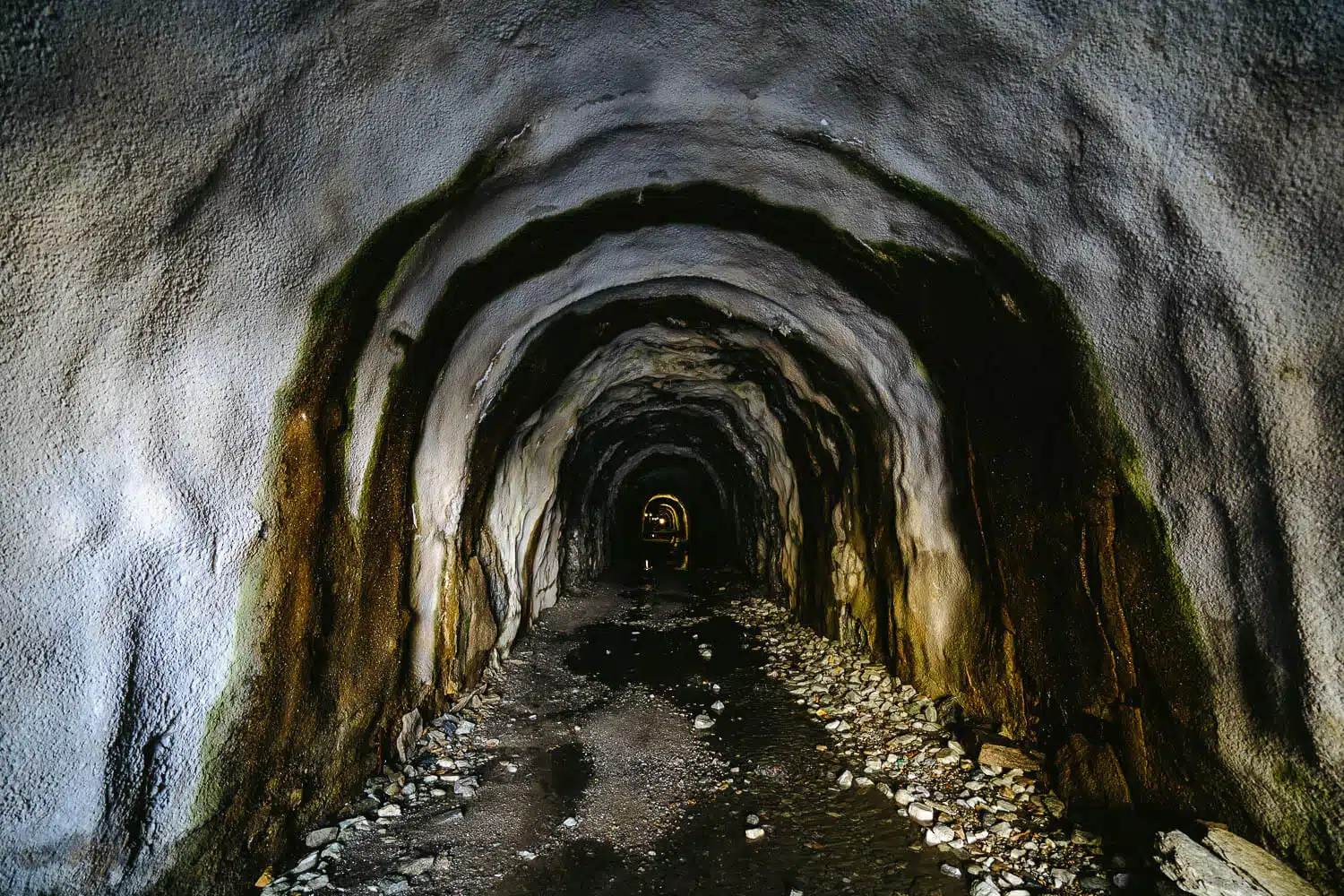
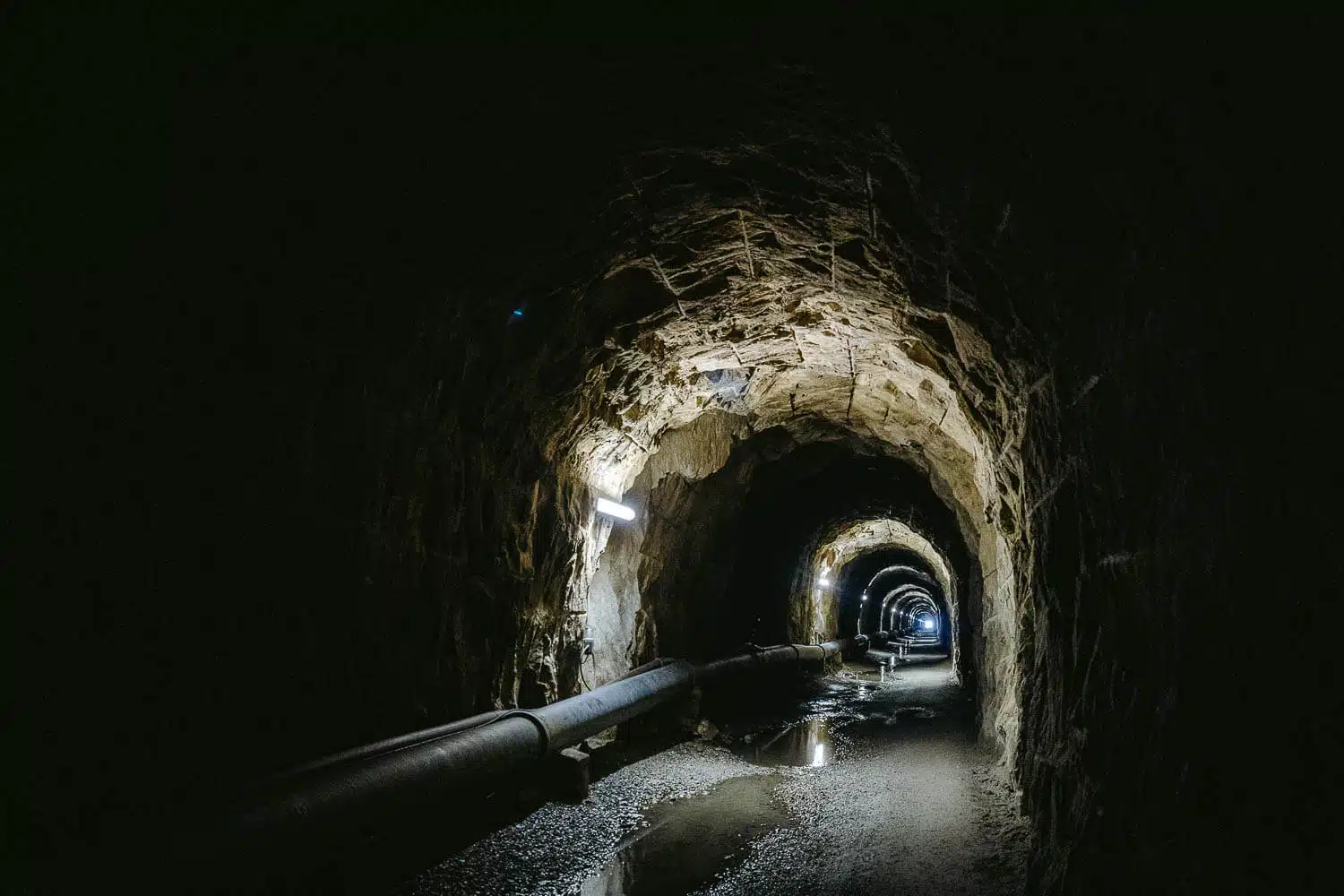
So resuming, you can get way down to the entrance of the glacier and go left to a bigger opening that has some sort of a small waterfall (I wouldn’t advise you to go any further down cause you might not be able to come back up), and you can go to the right and go inside a small blue-iced cave, which seems reasonably safe but not so magnificent.
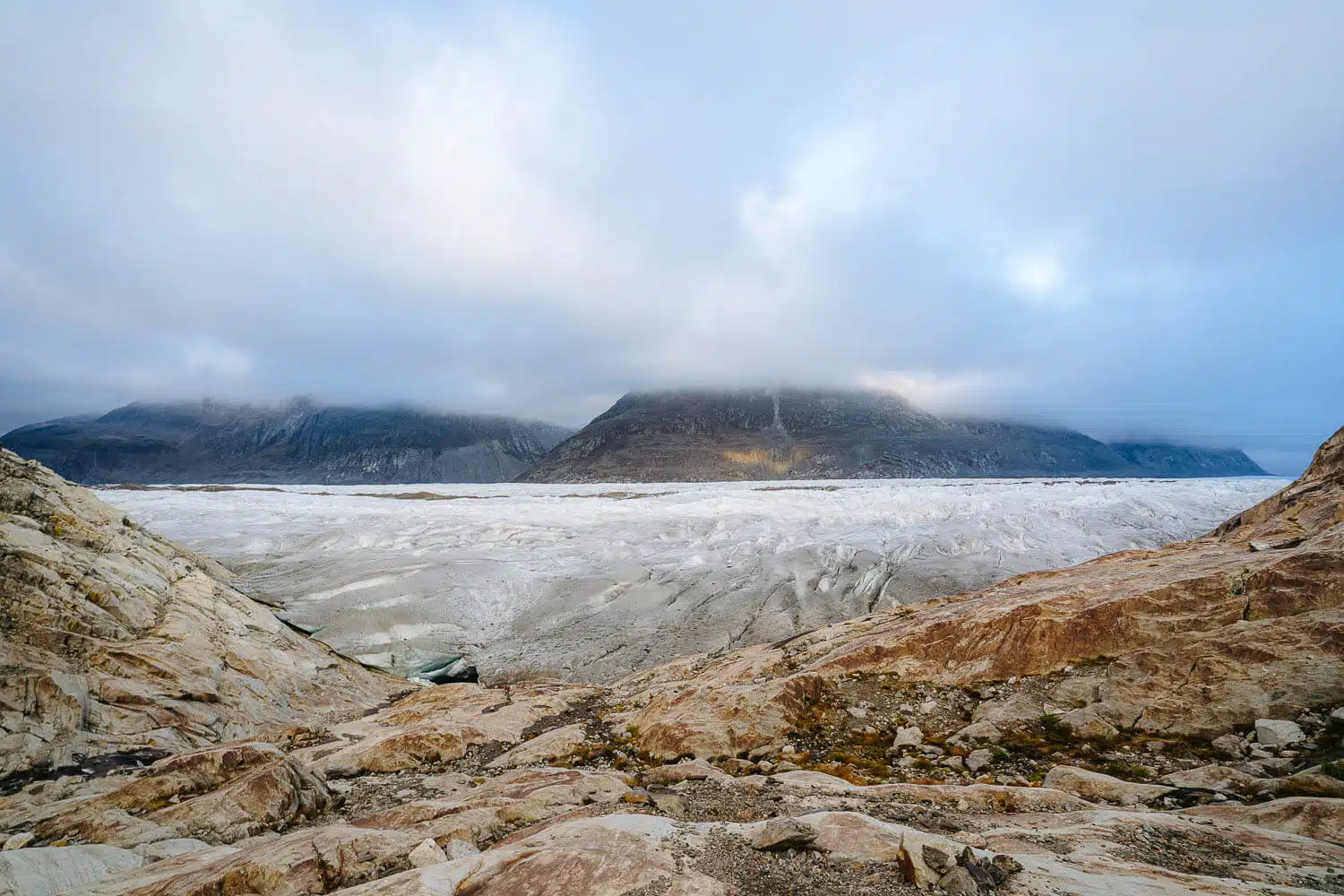
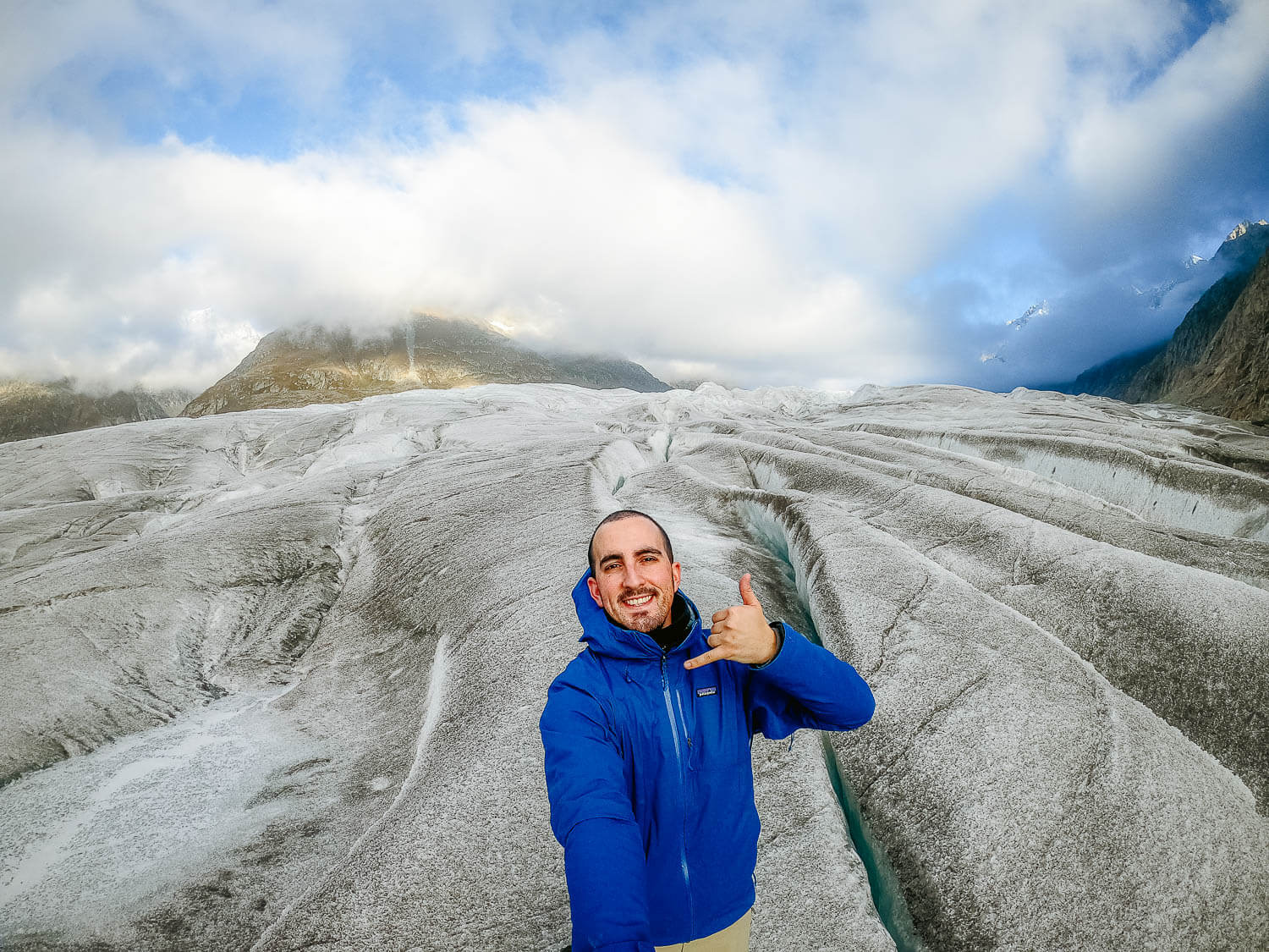
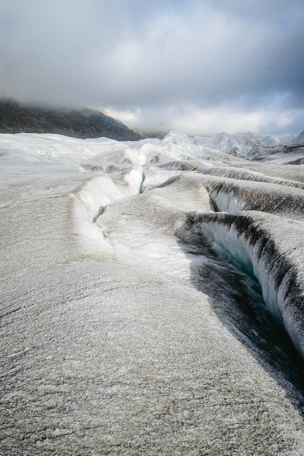
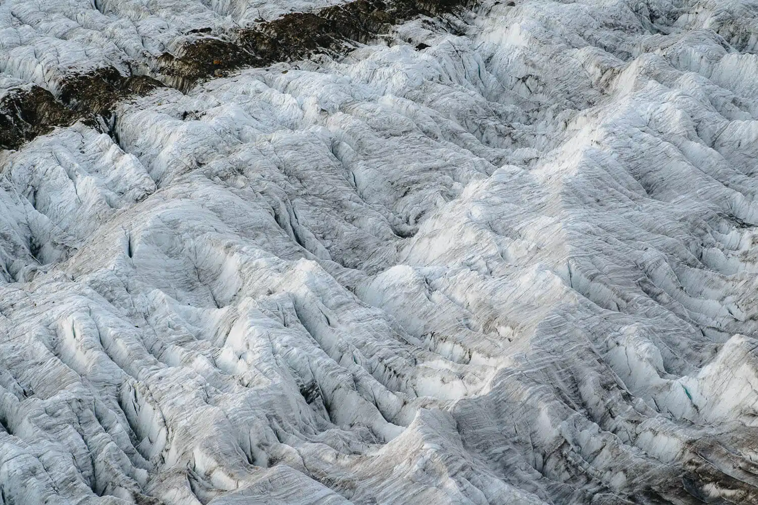
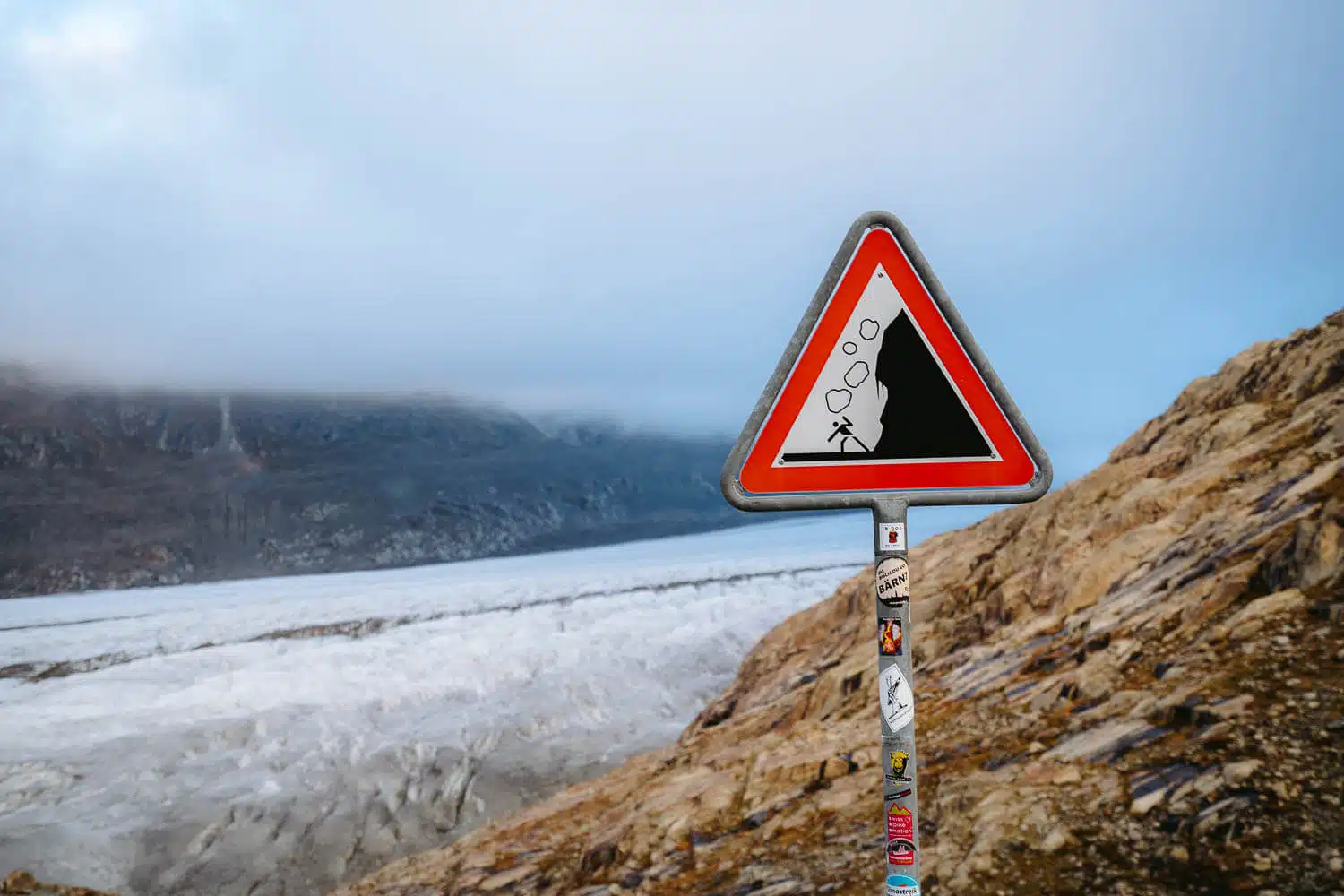
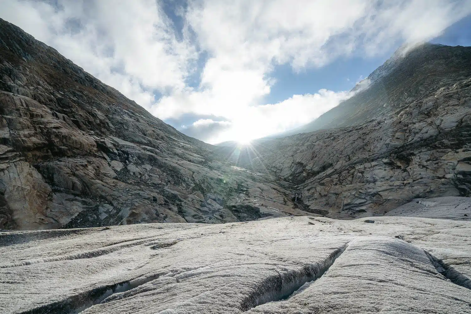
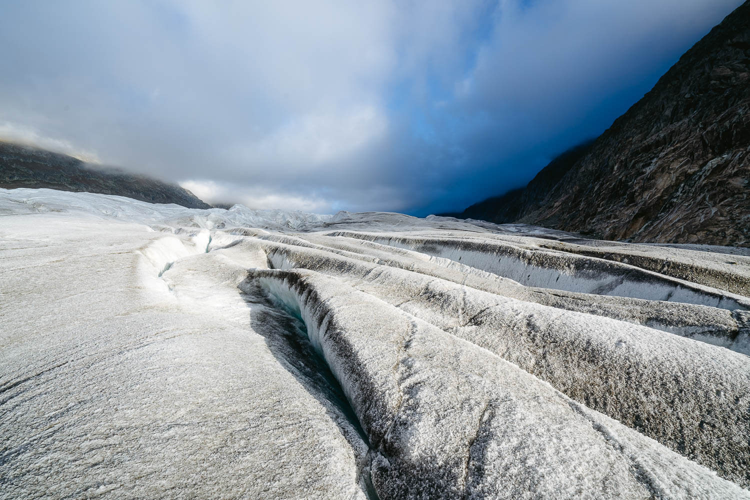
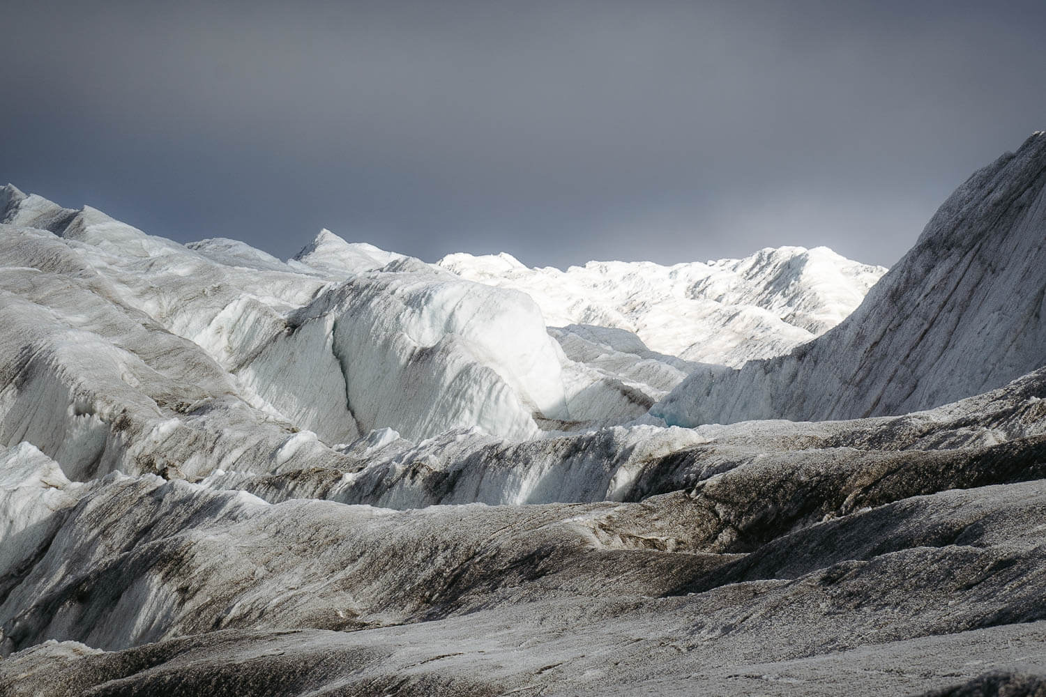
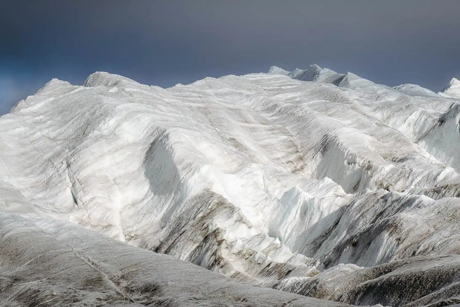
You can also in between both entrances, climb to the top of the glacier, and walk around 50-100m. Where the ice stops being greyish, you should stop. After that, the crevasses start getting bigger, and it’s more dangerous and should hire a guide.
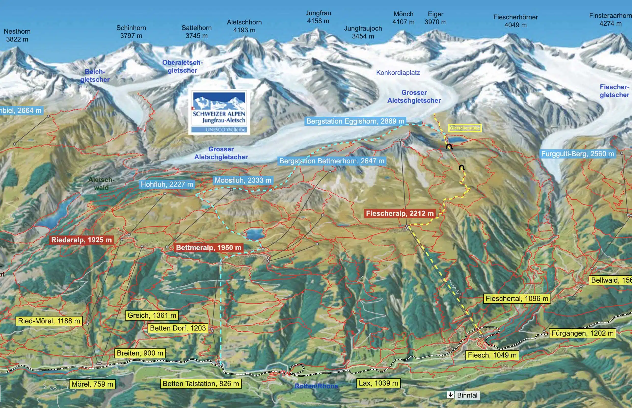
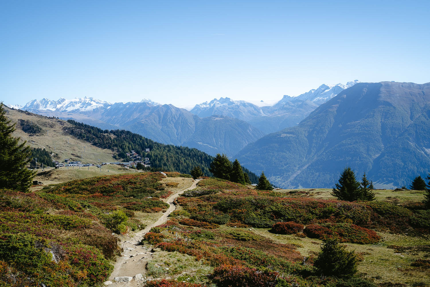
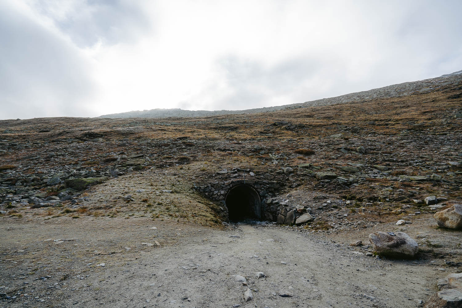
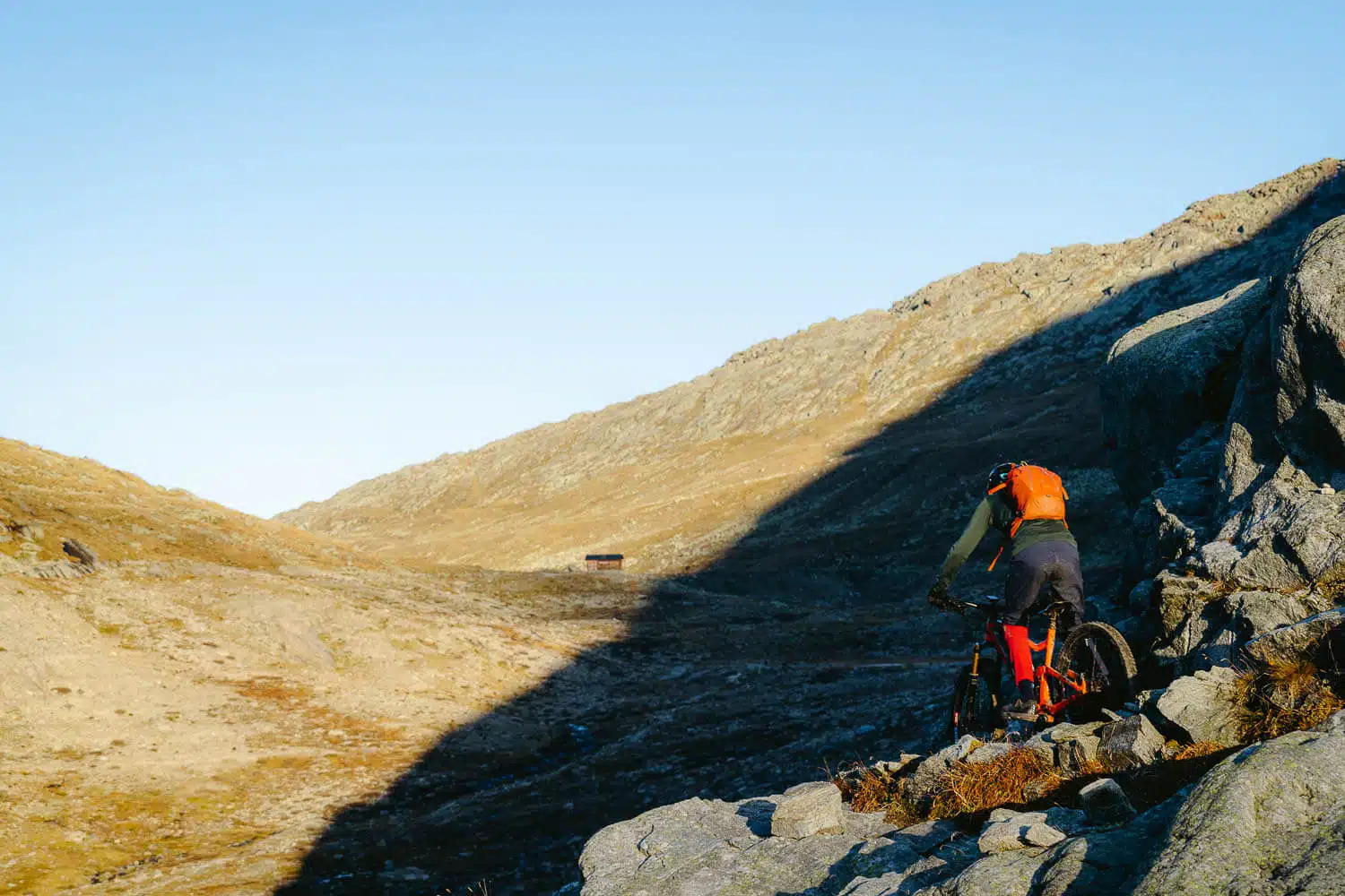
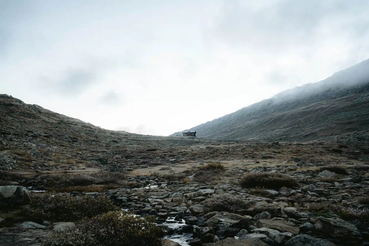
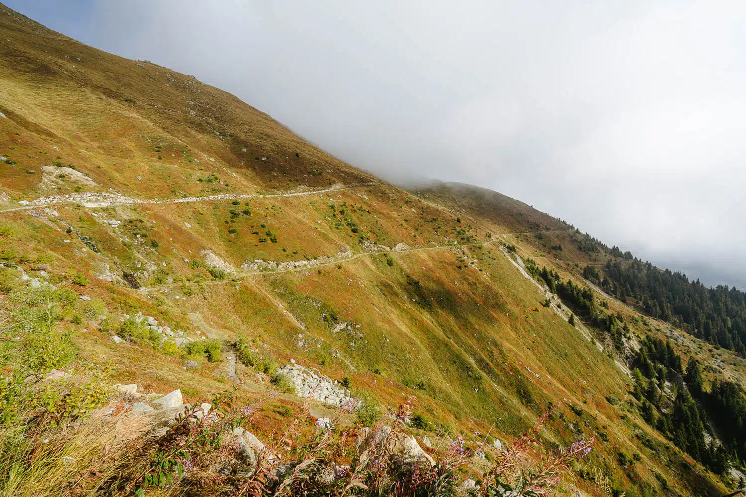
For the more adventurous, there is an awesome hike that takes you to the Konkordiaplatz, and you sleep at the Konkordia hut.
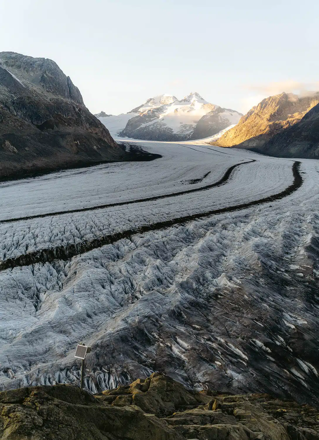
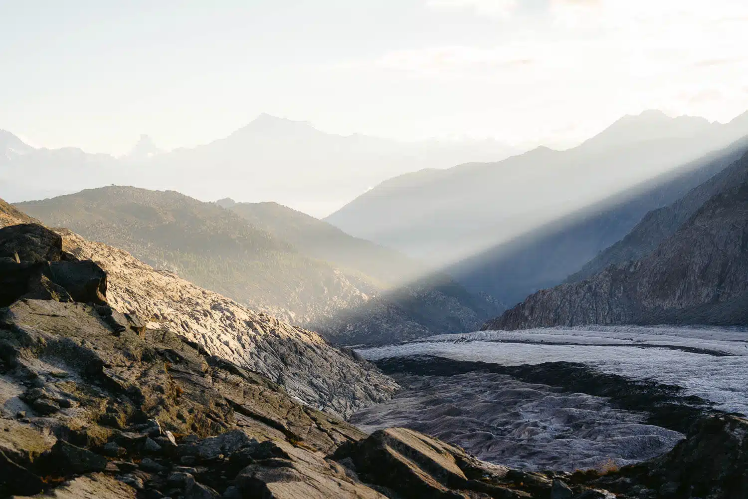
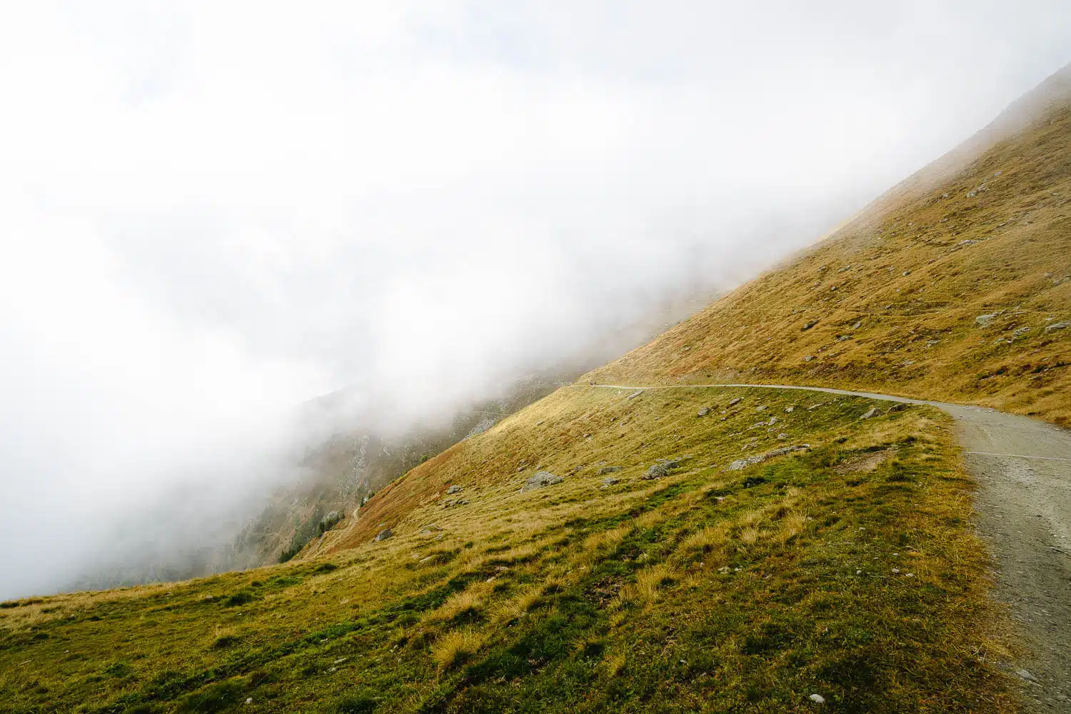
Pay attention that the entrance of the glacier tends to change every year, so these caves might be different when you go.
From the Gletscherstube Hut Back to Fiescheralp
Once you are finished with the glacier, you have to go back to the Gletscherstube hut.
Then, to reach Fiescheralp, you can either go through the Tälligrattunnel, as I did, and shorten the hike for 2 km, or go around the mountain and have, I suppose, a nicer view than the one you have inside the tunnel.
When I did this hike, as soon as I got out of the tunnel, I could see some hikers making the early hike in the opposite direction from mine, and the views were completely covered in clouds, which made it look very moody and mysterious.
Once I reached Fiescheralp, I got the cable car down to Fiesch, and the hike was over.
What an unbelievable hike, seriously. If you have the time, I 200% advise you to do it as I did.
What about you, have you already done the Aletsch Glacier hike? Leave me a comment down here if you did, and after you did it, with your impression.
Thanks for reading through and have fun hiking!
I’ll drop a couple of my other favorite photos from this hike down below. Enjoy!
Photo Gallery
From Bettmeralp to the Moosfluh Cable Car Station
From the Moosfluh Cable Car Station to Roti Chumme
From Roti Chumme to the Aletsch Glacier (Sunset) Overnight at Gletscherstube
Sunrise at Vordersee and Hike to the Entrance of the Aletsch Glacier
From the Gletscherstube Hut Back to Fiescheralp (Via Tälligrattunnel)
Plan your next adventure with us!
Here are the links we use and recommend to plan your trip easily and safely. You won’t pay more, and you’ll help keep the blog running!
Adventures in Sri Lanka - The Ancient Ceylon
Explore The Galapagos Islands
Hiking in Switzerland & Italy
The Hidden Worlds of Ecuador
ABOUT ME
I’m João Petersen, an explorer at heart, travel leader, and the creator of The Portuguese Traveler. Adventure tourism has always been my passion, and my goal is to turn my blog into a go-to resource for outdoor enthusiasts. Over the past few years, I’ve dedicated myself to exploring remote destinations, breathtaking landscapes, and fascinating cultures, sharing my experiences through a mix of storytelling and photography.
SUBSCRIBE
Don’t Miss Out! Be the first to know when I share new adventures—sign up for The Portuguese Traveler newsletter!
MEMBER OF
RECENT POSTS
COMMUNITY
TRAVEL INSURANCE
Lost luggage, missed flights, or medical emergencies – can you afford the risk? For peace of mind, I always trust Heymondo Travel Insurance.
Get 5% off your insurance with my link.
4 thoughts on “Aletsch Glacier Hike – Panorama Trail”
Is the distance of the hike 16km each way for a total of 32km?
Thanks!
Hey John, the hike i did it’s almost a complete loop of 16kms total.
Hello João, do you have a map with the hike you did?
Hi Ricardo, yes it’s at the beginning of the article the light blue dashed line was the first day and the yellow dashed line the second day.